UN/LOCODE hub · United Kingdom
GBCOR

Corpach

56.8500°, -5.1167°
1
Transport functions

Transport Functions

Port
Corpach is also a profiled seaport →
UN/LOCODE

Hub Profile

Place type
Populated place
GeoNames
Region
Scotland
GeoNames
Time zone
Europe/London
GeoNames
Elevation
12 m
GeoNames

Location

Location of GBCOR
Natural Earth 10m (public domain) · Scotland · GBCOR · 56.85, -5.12GoogleOSMYandex

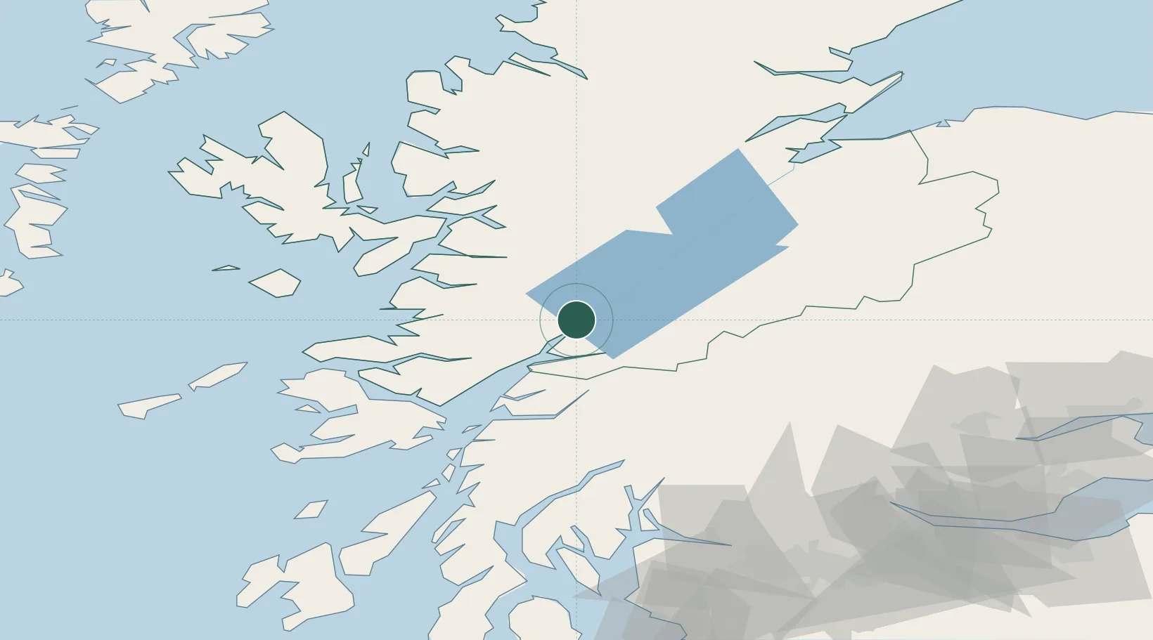
Nearby Logistics Neighbours

Cities
  1. 1Camusnagaul2 km
  2. 2Fort William4 km
  3. 3Corran16 km
  4. 4Ardgour17 km
  5. 5Kinlochleven19 km
Nearest neighbours — logibook spatial index (haversine) over the source coordinates
Ports
  1. 1Fort William4 km
  2. 2Glensanda41 km
  3. 3Mallaig46 km
  4. 4Lochaline52 km
  5. 5Oban53 km
Nearest neighbours — logibook spatial index (haversine) over the source coordinates
Airports
  1. 1Oban Airport46 km
  2. 2Coll Airport96 km
  3. 3Inverness Airport100 km
  4. 4Colonsay Airstrip112 km
  5. 5Tiree Airport114 km
Nearest neighbours — logibook spatial index (haversine) over the source coordinates
Trade Zones
  1. 1Prestwick Airport Free Zone152 km
  2. 2Carlisle Kingmoor Park Enterprise Zone252 km
  3. 3North Eastern Enterprise Zone302 km
  4. 4Isle of Man Free Zone and Business Park308 km
  5. 5Tees Valley Enterprise Zone351 km
Nearest neighbours — logibook spatial index (haversine) over the source coordinates
DatabookThe Record of Consolidated Knowledge
United Kingdom beyond logistics?
Browse databook

All Sources

LocationsUN/LOCODE
UN/LOCODE — free
Portsthe NGA World Port Index
Public domain (US gov)
AirportsOurAirports
Public domain
Trade Zonesthe World Bank SEZ database
CC BY 4.0
Trade ZonesOpen Zone Map
CC BY
← United Kingdom locations