Transport Functions
Port
Hub Profile
Region
DEV
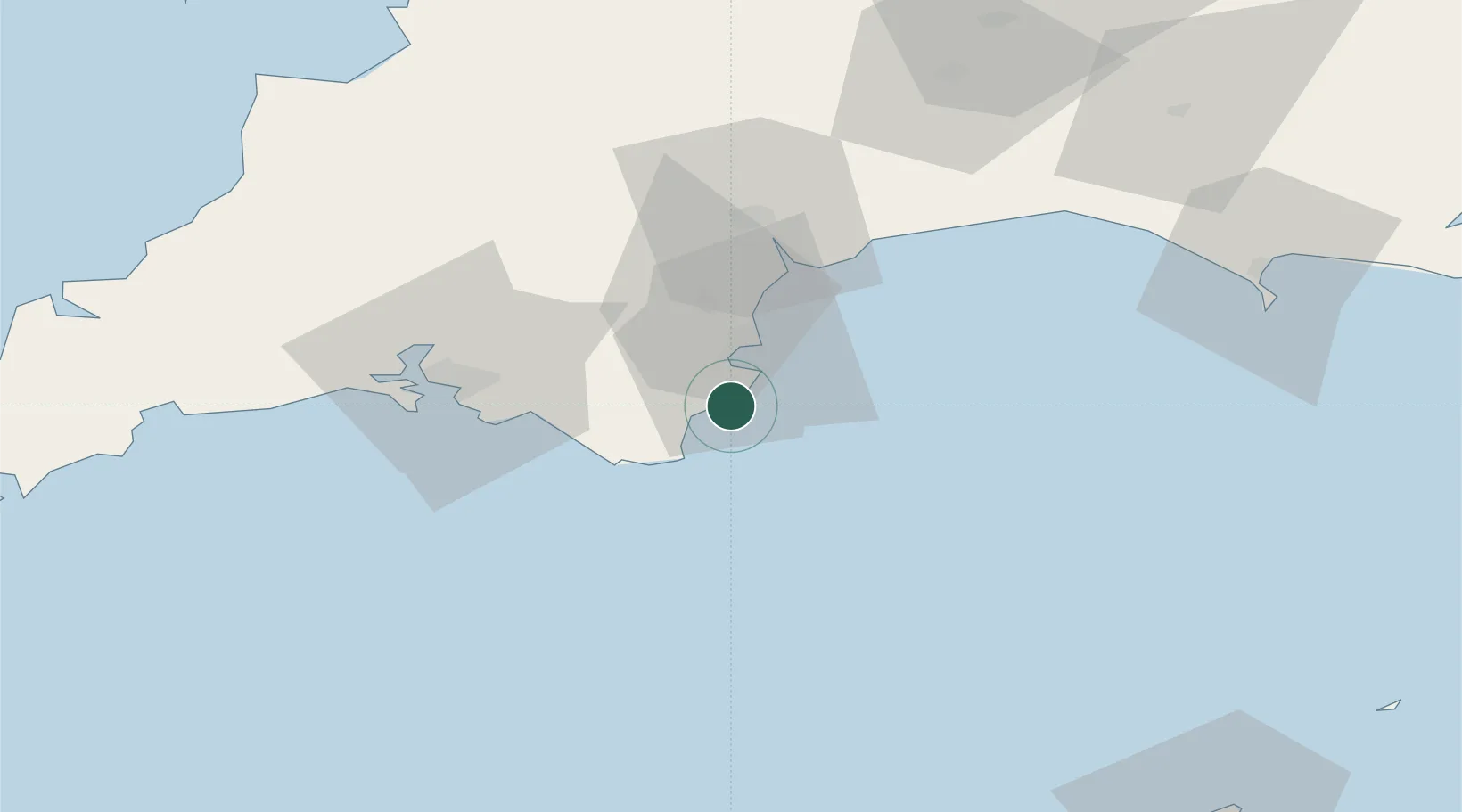
Location
Nearby Logistics Neighbours
Ports
- 1Dartmouth Harbour5 km
- 2Brixham Harbour8 km
- 3Torquay Harbour15 km
- 4Teignmouth Harbour24 km
- 5Plymouth43 km
Airports
- 1Exeter International Airport46 km
- 2Royal Marines Base Chivenor94 km
- 3RNAS Yeovilton99 km
- 4Hartland Point Heliport102 km
- 5Cornwall Airport Newquay103 km
Trade Zones
DatabookThe Record of Consolidated Knowledge
United Kingdom beyond logistics?