Transport Functions
Port
Hub Profile
Place type
Populated place
Region
Scotland
Time zone
Europe/London
Elevation
7 m
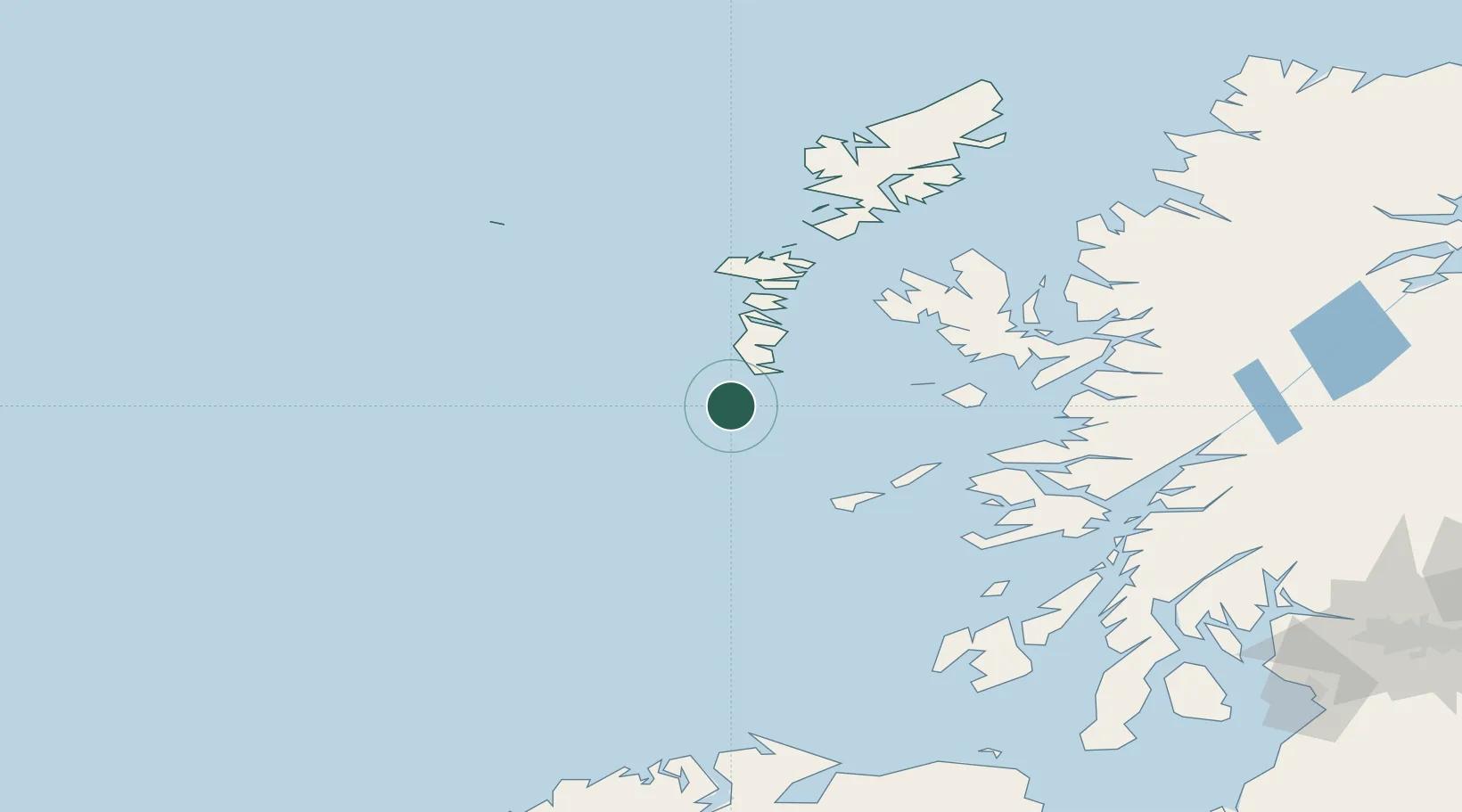
Location
Nearby Logistics Neighbours
Cities
- 1Brevig, Barra2 km
- 2Ardveenish7 km
- 3Northbay7 km
- 4Aird Mhor (Ardmhor)8 km
- 5Ceann a Gharaidh, Eriskay17 km
Ports
- 1Lochboisdale24 km
- 2Lochmaddy75 km
- 3Portree Harbor92 km
- 4Tobermory93 km
- 5Uig97 km
Airports
- 1Barra Airport8 km
- 2Benbecula Airport59 km
- 3Tiree Airport62 km
- 4Coll Airport65 km
- 5Colonsay Airstrip124 km
Trade Zones
DatabookThe Record of Consolidated Knowledge
United Kingdom beyond logistics?