Transport Functions
Port
Hub Profile
Place type
Populated place
Region
England
Population
686
Time zone
Europe/London
Elevation
24 m
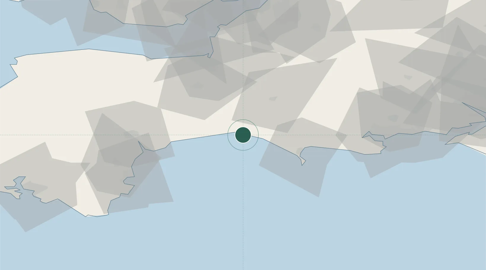
Location
Nearby Logistics Neighbours
Cities
- 1West Bay5 km
- 2Charmouth6 km
- 3Burton Bradstock7 km
- 4Lyme Regis8 km
- 5Clapton15 km
Ports
- 1Bridport Harbour4 km
- 2Weymouth Harbour28 km
- 3Portland Harbour31 km
- 4Bridgwater48 km
- 5Teignmouth Harbour52 km
Airports
- 1RNAS Yeovilton35 km
- 2Exeter International Airport42 km
- 3Bournemouth Airport69 km
- 4Bristol Airport74 km
- 5Cardiff International Airport84 km
Trade Zones
DatabookThe Record of Consolidated Knowledge
United Kingdom beyond logistics?