UN/LOCODE hub · United Kingdom
GBBBK
Burton Bradstock
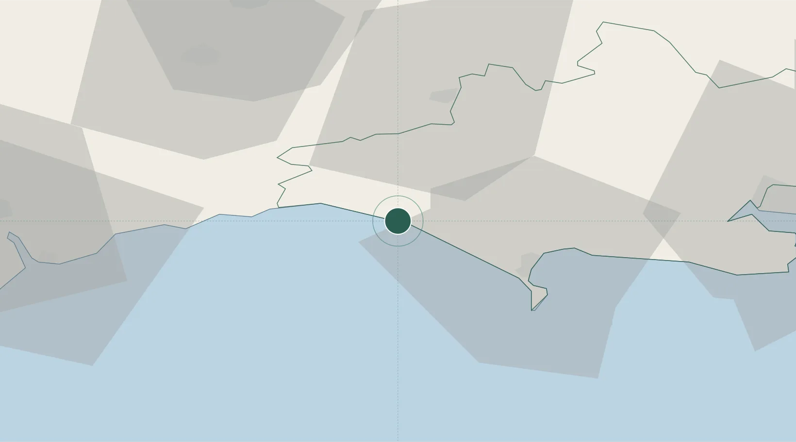
50.7000°, -2.7167°
682
Population
1
Transport functions
Transport Functions
Port
Hub Profile
Place type
Populated place
Region
England
Population
682
Time zone
Europe/London
Elevation
4 m
Location
Nearby Logistics Neighbours
Cities
- 1West Bay2 km
- 2Chideock7 km
- 3Abbotsbury9 km
- 4Charmouth13 km
- 5Lyme Regis16 km
Ports
- 1Bridport Harbour4 km
- 2Weymouth Harbour21 km
- 3Portland Harbour24 km
- 4Bridgwater52 km
- 5Poole Harbour54 km
Airports
- 1RNAS Yeovilton35 km
- 2Exeter International Airport49 km
- 3Bournemouth Airport62 km
- 4Bristol Airport76 km
- 5MoD Boscombe Down85 km
Trade Zones
DatabookThe Record of Consolidated Knowledge
United Kingdom beyond logistics?