UN/LOCODE hub · United Kingdom
GBWYX
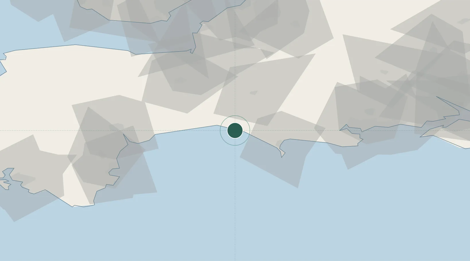
West Bay
50.7000°, -2.7500°
4,084
Population
1
Transport functions
Transport Functions
Port
Hub Profile
Place type
Populated place
Region
England
Population
4,084
Time zone
Europe/London
Elevation
1 m
Location
Nearby Logistics Neighbours
Cities
- 1Burton Bradstock2 km
- 2Chideock5 km
- 3Charmouth11 km
- 4Abbotsbury11 km
- 5Lyme Regis13 km
Ports
- 1Bridport Harbour2 km
- 2Weymouth Harbour23 km
- 3Portland Harbour26 km
- 4Bridgwater51 km
- 5Teignmouth Harbour56 km
Airports
- 1RNAS Yeovilton35 km
- 2Exeter International Airport47 km
- 3Bournemouth Airport65 km
- 4Bristol Airport76 km
- 5MoD Boscombe Down86 km
Trade Zones
DatabookThe Record of Consolidated Knowledge
United Kingdom beyond logistics?