UN/LOCODE hub · France
FRDON

Donges

47.3000°, -2.0667°
6,749
Population
3
Transport functions

Transport Functions

Port
Rail
Fixed Transport
Donges is also a profiled seaport →
UN/LOCODE

Hub Profile

Place type
Populated place
GeoNames
Region
Pays de la Loire
GeoNames
Population
6,749
GeoNames
Time zone
Europe/Paris
GeoNames
Elevation
10 m
GeoNames

Location

Location of FRDON
Natural Earth 10m (public domain) · Pays de la Loire · FRDON · 47.30, -2.07GoogleOSMYandex

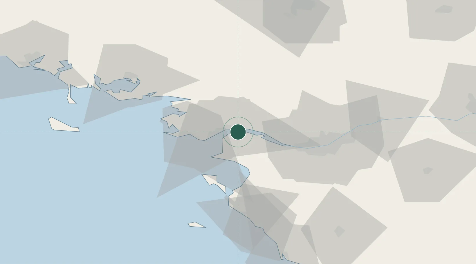
Nearby Logistics Neighbours

Cities
  1. 1Paimbuf4 km
  2. 2Montoir-de-Bretagne7 km
  3. 3Prinquiau8 km
  4. 4Trignac9 km
  5. 5Saint-Nazaire10 km
Nearest neighbours — logibook spatial index (haversine) over the source coordinates
Ports
  1. 1Montoir5 km
  2. 2St Nazaire10 km
  3. 3Nantes39 km
  4. 4Les Sables D' Olonne91 km
  5. 5Lorient109 km
Nearest neighbours — logibook spatial index (haversine) over the source coordinates
Airports
  1. 1Saint-Nazaire-Montoir Airport7 km
  2. 2La Baule-Escoublac Airport21 km
  3. 3Nantes Atlantique Airport38 km
  4. 4Beauvoir Fromentine Airfield46 km
  5. 5Ile D'Yeu Port Joinville Heliport67 km
Nearest neighbours — logibook spatial index (haversine) over the source coordinates
Trade Zones
  1. 1ZFU Saint-Nazaire16 km
  2. 2ZFU Nantes et Saint-Herblain29 km
  3. 3ZFU Angers112 km
  4. 4ZFU La Rochelle142 km
  5. 5ZFU Le Mans181 km
Nearest neighbours — logibook spatial index (haversine) over the source coordinates
DatabookThe Record of Consolidated Knowledge
France beyond logistics?
Browse databook

All Sources

LocationsUN/LOCODE
UN/LOCODE — free
LocationsGeoNames
CC BY 4.0
Portsthe NGA World Port Index
Public domain (US gov)
AirportsOurAirports
Public domain
Trade Zonesthe World Bank SEZ database
CC BY 4.0
Trade ZonesOpen Zone Map
CC BY
← France locations