UN/LOCODE hub · France
FRPBF

Paimbuf

47.2833°, -2.0167°
2
Transport functions

Transport Functions

Port
Road
UN/LOCODE

Hub Profile

Region
44
GeoNames

Location

Location of FRPBF
Natural Earth 10m (public domain) · 44 · FRPBF · 47.28, -2.02GoogleOSMYandex

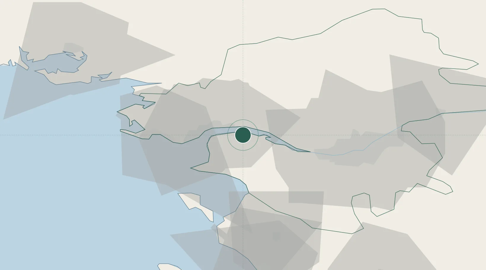
Nearby Logistics Neighbours

Cities
  1. 1Donges4 km
  2. 2Frossay7 km
  3. 3Prinquiau9 km
  4. 4Saint-Père-en-Retz9 km
  5. 5La Chapelle-Launay10 km
Nearest neighbours — logibook spatial index (haversine) over the source coordinates
Ports
  1. 1Donges4 km
  2. 2Montoir9 km
  3. 3St Nazaire14 km
  4. 4Nantes35 km
  5. 5Les Sables D' Olonne89 km
Nearest neighbours — logibook spatial index (haversine) over the source coordinates
Airports
  1. 1Saint-Nazaire-Montoir Airport11 km
  2. 2La Baule-Escoublac Airport25 km
  3. 3Nantes Atlantique Airport34 km
  4. 4Beauvoir Fromentine Airfield44 km
  5. 5Ile D'Yeu Port Joinville Heliport67 km
Nearest neighbours — logibook spatial index (haversine) over the source coordinates
Trade Zones
  1. 1ZFU Saint-Nazaire19 km
  2. 2ZFU Nantes et Saint-Herblain25 km
  3. 3ZFU Angers109 km
  4. 4ZFU La Rochelle139 km
  5. 5ZFU Le Mans178 km
Nearest neighbours — logibook spatial index (haversine) over the source coordinates
DatabookThe Record of Consolidated Knowledge
France beyond logistics?
Browse databook

All Sources

LocationsUN/LOCODE
UN/LOCODE — free
Portsthe NGA World Port Index
Public domain (US gov)
AirportsOurAirports
Public domain
Trade Zonesthe World Bank SEZ database
CC BY 4.0
Trade ZonesOpen Zone Map
CC BY
← France locations