UN/LOCODE hub · France
FRMTX
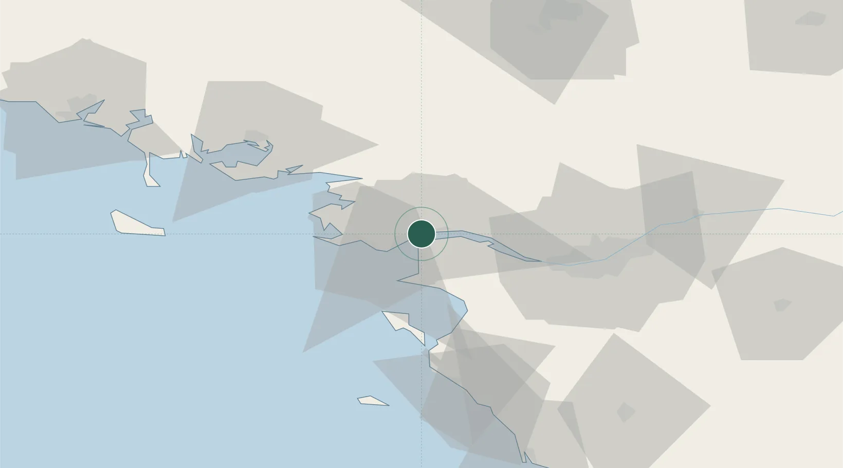
Montoir-de-Bretagne
47.3088°, -2.1550°
6,762
Population
3
Transport functions
1
Container terminals
Transport Functions
Port
Rail
Road
Hub Profile
Place type
Populated place
Region
Pays de la Loire
Population
6,762
Time zone
Europe/Paris
Elevation
10 m
Logistics facilities
9
Container terminals
1
Location
Nearby Logistics Neighbours
Cities
- 1Trignac2 km
- 2Saint-Nazaire4 km
- 3Donges7 km
- 4Saint-Joachim9 km
- 5Paimbuf11 km
Ports
- 1St Nazaire4 km
- 2Donges7 km
- 3Nantes46 km
- 4Les Sables D' Olonne94 km
- 5Lorient102 km
Airports
Trade Zones
- 1ZFU Saint-Nazaire10 km
- 2ZFU Nantes et Saint-Herblain36 km
- 3ZFU Angers119 km
- 4ZFU La Rochelle146 km
- 5ZFU Le Mans187 km
DatabookThe Record of Consolidated Knowledge
France beyond logistics?