Transport Functions
Port
Rail
Airport
Hub Profile
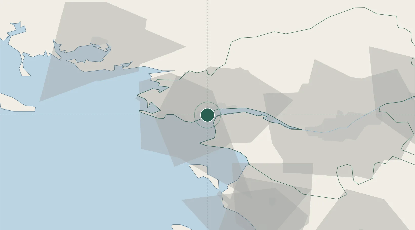
Place type
District seat
Region
Pays de la Loire
Population
67,054
Time zone
Europe/Paris
Elevation
12 m
Location
Nearby Logistics Neighbours
Cities
- 1Trignac4 km
- 2Montoir-de-Bretagne4 km
- 3Saint-André-des-Eaux10 km
- 4Donges10 km
- 5Saint-Joachim11 km
Ports
- 1Montoir5 km
- 2Donges10 km
- 3Nantes49 km
- 4Les Sables D' Olonne92 km
- 5Lorient101 km
Airports
Trade Zones
- 1ZFU Saint-Nazaire6 km
- 2ZFU Nantes et Saint-Herblain38 km
- 3ZFU Angers123 km
- 4ZFU La Rochelle146 km
- 5ZFU Le Mans191 km
DatabookThe Record of Consolidated Knowledge
France beyond logistics?