Transport Functions
Road
Multimodal
Hub Profile
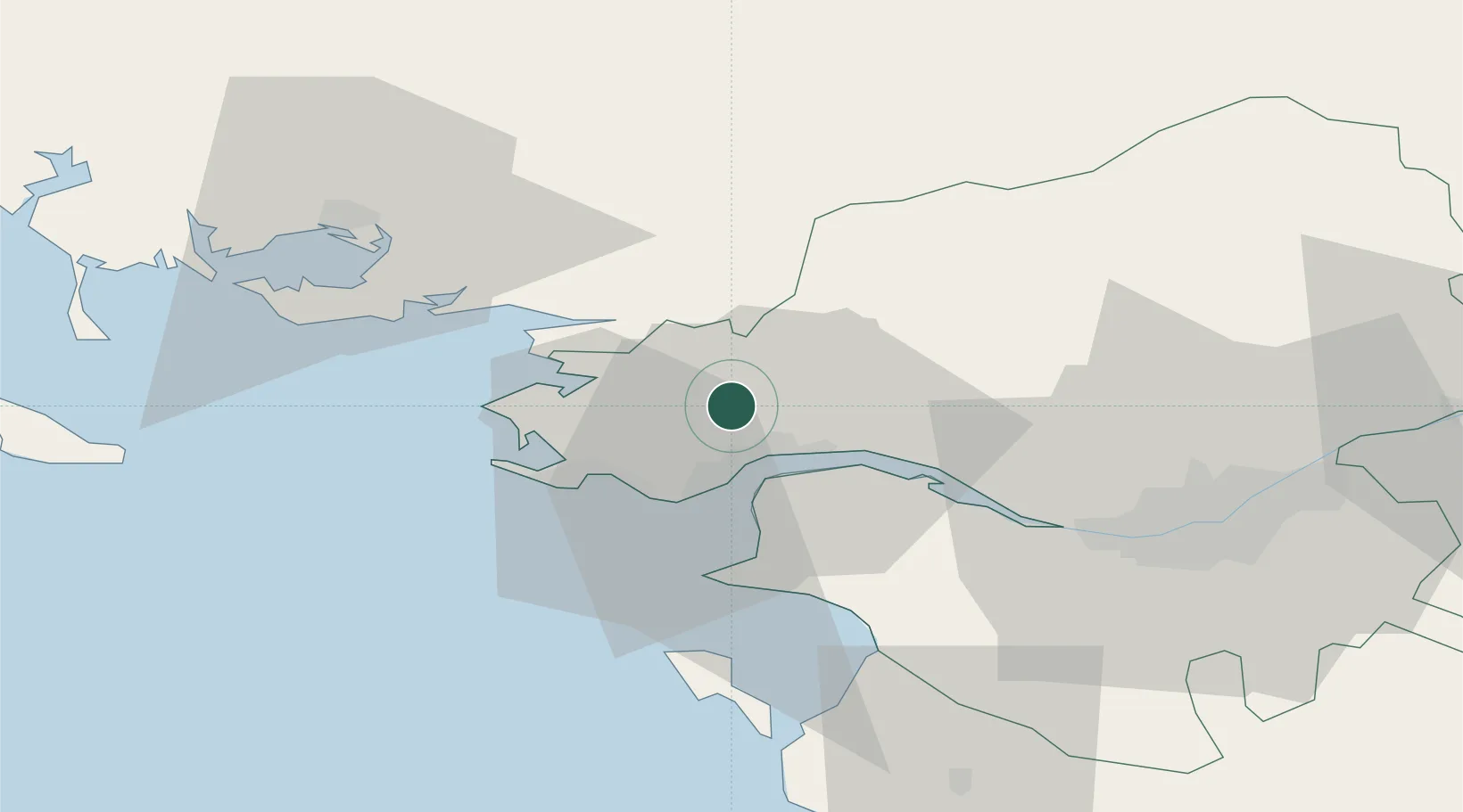
Place type
Populated place
Region
Pays de la Loire
Population
4,087
Time zone
Europe/Paris
Elevation
6 m
Location
Nearby Logistics Neighbours
Cities
- 1Trignac8 km
- 2Montoir-de-Bretagne9 km
- 3Pontchâteau10 km
- 4Saint-Nazaire11 km
- 5Saint-André-des-Eaux12 km
Ports
- 1Montoir11 km
- 2St Nazaire11 km
- 3Donges14 km
- 4Nantes52 km
- 5Lorient95 km
Airports
Trade Zones
- 1ZFU Saint-Nazaire13 km
- 2ZFU Nantes et Saint-Herblain42 km
- 3ZFU Angers121 km
- 4ZFU La Rochelle155 km
- 5ZFU Le Mans186 km
DatabookThe Record of Consolidated Knowledge
France beyond logistics?