Transport Functions
Port
Hub Profile
Place type
Populated place
Region
Brittany
Time zone
Europe/Paris
Elevation
37 m
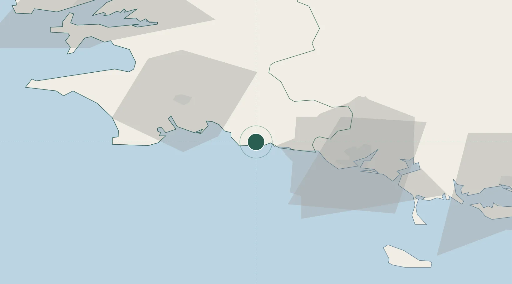
Location
Nearby Logistics Neighbours
Cities
- 1Pont-Aven5 km
- 2Villy6 km
- 3Trégunc6 km
- 4Riec-sur-Bélon7 km
- 5Concarneau12 km
Ports
- 1Concarneau11 km
- 2Lorient33 km
- 3Rade De Brest83 km
- 4Morlaix85 km
- 5Port De Roscoff-Bloscon103 km
Airports
Trade Zones
- 1ZFU Saint-Nazaire128 km
- 2ZFU Nantes et Saint-Herblain170 km
- 3ZFU Angers242 km
- 4ZFU Cherbourg-Octeville255 km
- 5ZFU La Rochelle268 km
DatabookThe Record of Consolidated Knowledge
France beyond logistics?