Transport Functions
Port
Rail
Hub Profile
Place type
Populated place
Region
Brittany
Population
21,397
Time zone
Europe/Paris
Elevation
11 m
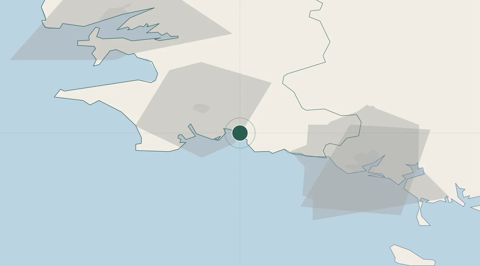
Location
Nearby Logistics Neighbours
Cities
- 1La Forêt-Fouesnant6 km
- 2Trégunc6 km
- 3Fouesnant8 km
- 4Pleuven9 km
- 5Rosporden11 km
Ports
- 1Lorient45 km
- 2Rade De Brest71 km
- 3Morlaix78 km
- 4Port De Roscoff-Bloscon95 km
- 5Pontrieux108 km
Airports
Trade Zones
- 1ZFU Saint-Nazaire140 km
- 2ZFU Nantes et Saint-Herblain182 km
- 3ZFU Angers252 km
- 4ZFU Cherbourg-Octeville256 km
- 5Oceansgate Plymouth277 km
DatabookThe Record of Consolidated Knowledge
France beyond logistics?