UN/LOCODE hub · France
FRBES
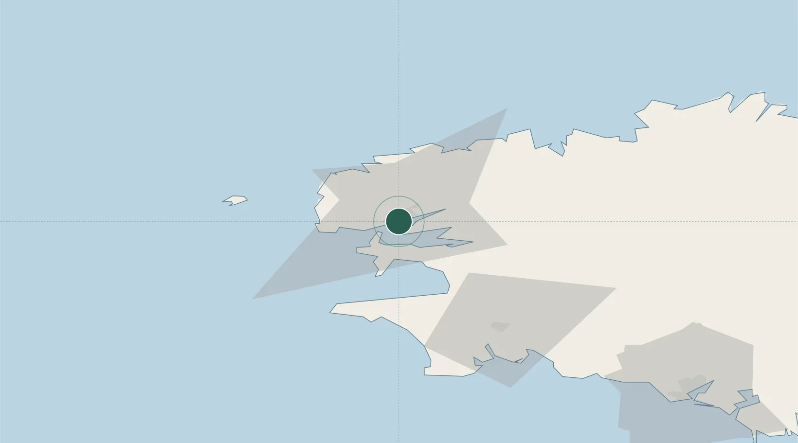
Brest
48.3848°, -4.4674°
144,899
Population
4
Transport functions
1
Container terminals
Transport Functions
Port
Rail
Road
Airport
Hub Profile
Place type
District seat
Region
Brittany
Population
144,899
Time zone
Europe/Paris
Elevation
49 m
Logistics facilities
3
Container terminals
1
Location
Nearby Logistics Neighbours
Cities
- 1Le Passage6 km
- 2Gouesnou7 km
- 3Lanvéoc11 km
- 4Le Fret12 km
- 5La Forest-Landerneau12 km
Ports
- 1Morlaix52 km
- 2Port De Roscoff-Bloscon53 km
- 3Concarneau71 km
- 4Treguier101 km
- 5Pontrieux104 km
Airports
- 1Brest Bretagne airport8 km
- 2Lanvéoc-Poulmic Air Base12 km
- 3Landivisiau Air Base28 km
- 4Ouessant Airport45 km
- 5Quimper-Cornouaille Airport51 km
Trade Zones
DatabookThe Record of Consolidated Knowledge
France beyond logistics?