UN/LOCODE hub · France
FRLFD

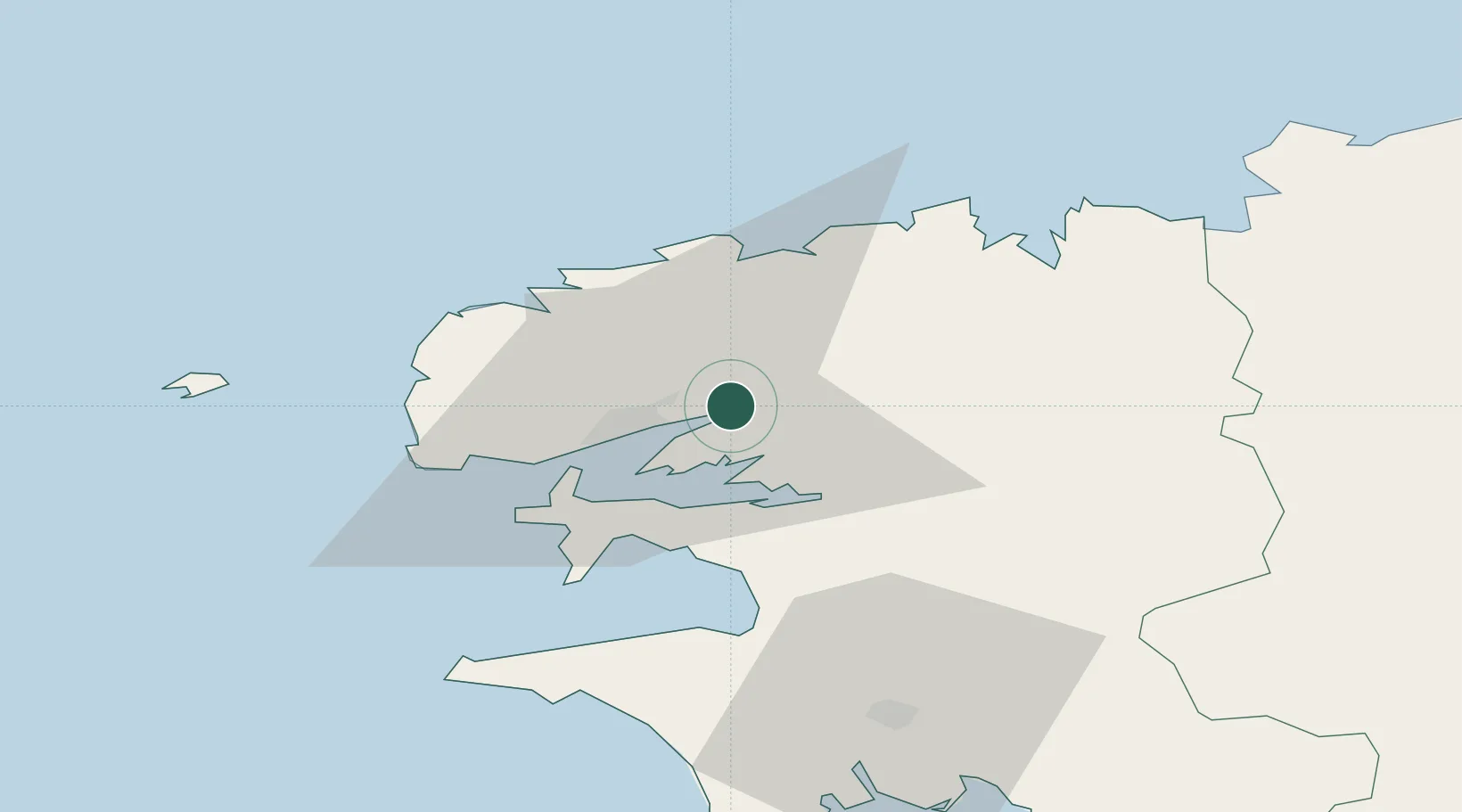
La Forest-Landerneau

48.4333°, -4.3167°
1,686
Population
1
Transport functions

Transport Functions

Multimodal
UN/LOCODE

Hub Profile

Place type
Populated place
GeoNames
Region
Brittany
GeoNames
Population
1,686
GeoNames
Time zone
Europe/Paris
GeoNames
Elevation
53 m
GeoNames

Location

Location of FRLFD
Natural Earth 10m (public domain) · Brittany · FRLFD · 48.43, -4.32GoogleOSMYandex

Nearby Logistics Neighbours

Cities
  1. 1Dirinon5 km
  2. 2Landerneau5 km
  3. 3Pencran6 km
  4. 4Le Passage7 km
  5. 5Irvillac11 km
Nearest neighbours — logibook spatial index (haversine) over the source coordinates
Ports
  1. 1Rade De Brest15 km
  2. 2Morlaix39 km
  3. 3Port De Roscoff-Bloscon41 km
  4. 4Concarneau70 km
  5. 5Treguier89 km
Nearest neighbours — logibook spatial index (haversine) over the source coordinates
Airports
  1. 1Brest Bretagne airport8 km
  2. 2Landivisiau Air Base16 km
  3. 3Lanvéoc-Poulmic Air Base19 km
  4. 4Morlaix-Ploujean Airport41 km
  5. 5Quimper-Cornouaille Airport52 km
Nearest neighbours — logibook spatial index (haversine) over the source coordinates
Trade Zones
  1. 1ZFU Saint-Nazaire199 km
  2. 2Oceansgate Plymouth216 km
  3. 3Heart of the South West Enterprise Zone219 km
  4. 4Cornwall Newquay Aerohub Enterprise Zone228 km
  5. 5ZFU Cherbourg-Octeville235 km
Nearest neighbours — logibook spatial index (haversine) over the source coordinates
DatabookThe Record of Consolidated Knowledge
France beyond logistics?
Browse databook

All Sources

LocationsUN/LOCODE
UN/LOCODE — free
LocationsGeoNames
CC BY 4.0
Portsthe NGA World Port Index
Public domain (US gov)
AirportsOurAirports
Public domain
Trade Zonesthe World Bank SEZ database
CC BY 4.0
Trade ZonesOpen Zone Map
CC BY
← France locations