UN/LOCODE hub · France
FRLV9

Lanvéoc

48.2833°, -4.4667°
2,282
Population
1
Transport functions

Transport Functions

Multimodal
UN/LOCODE

Hub Profile

Place type
Populated place
GeoNames
Region
Brittany
GeoNames
Population
2,282
GeoNames
Time zone
Europe/Paris
GeoNames
Elevation
57 m
GeoNames

Location

Location of FRLV9
Natural Earth 10m (public domain) · Brittany · FRLV9 · 48.28, -4.47GoogleOSMYandex

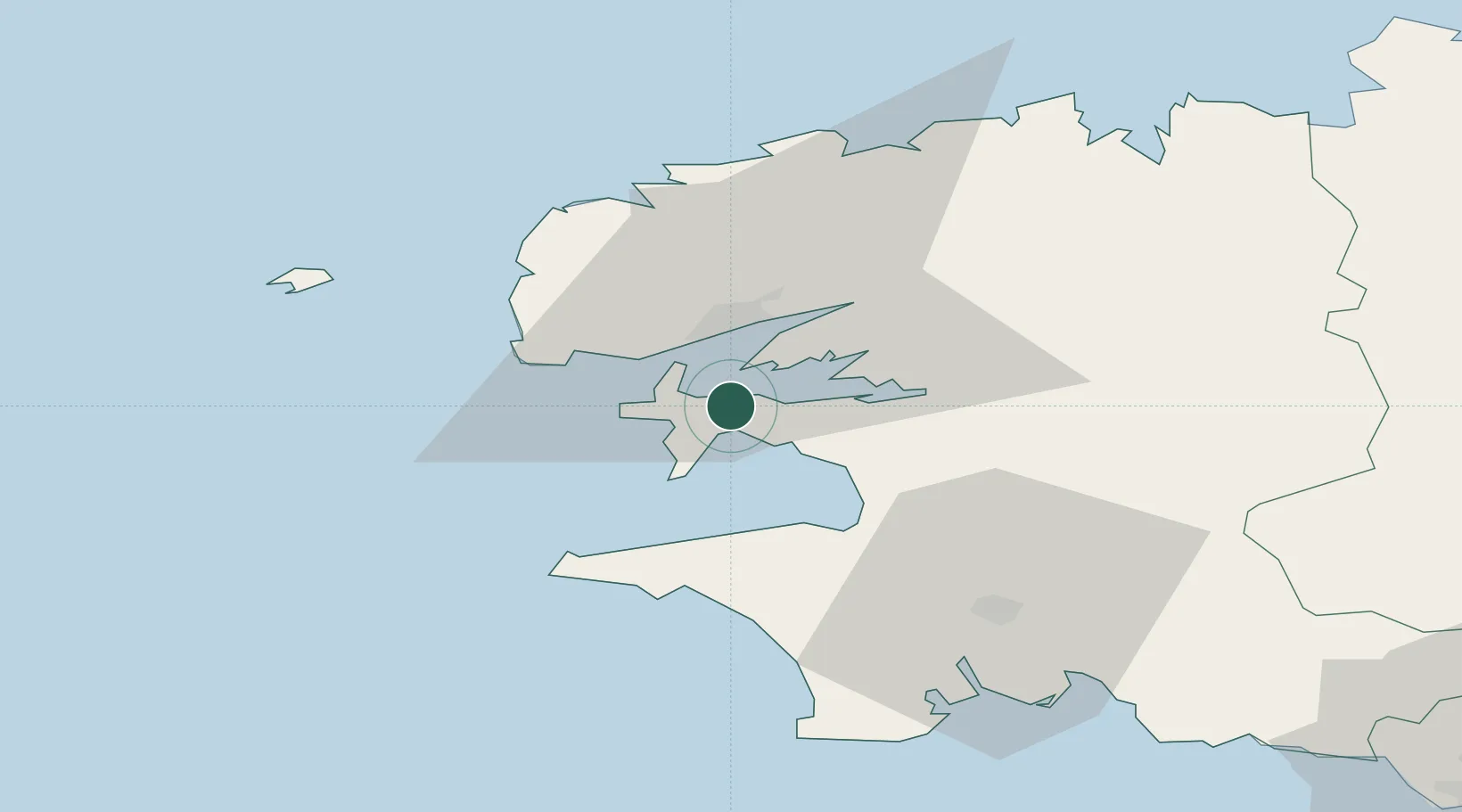
Nearby Logistics Neighbours

Cities
  1. 1Le Fret4 km
  2. 2Brest11 km
  3. 3Le Passage13 km
  4. 4Logonna-Daoulas13 km
  5. 5Landevennec15 km
Nearest neighbours — logibook spatial index (haversine) over the source coordinates
Ports
  1. 1Rade De Brest11 km
  2. 2Morlaix57 km
  3. 3Port De Roscoff-Bloscon61 km
  4. 4Concarneau62 km
  5. 5Lorient102 km
Nearest neighbours — logibook spatial index (haversine) over the source coordinates
Airports
  1. 1Lanvéoc-Poulmic Air Base2 km
  2. 2Brest Bretagne airport19 km
  3. 3Landivisiau Air Base36 km
  4. 4Quimper-Cornouaille Airport41 km
  5. 5Ouessant Airport48 km
Nearest neighbours — logibook spatial index (haversine) over the source coordinates
Trade Zones
  1. 1ZFU Saint-Nazaire198 km
  2. 2Oceansgate Plymouth233 km
  3. 3Heart of the South West Enterprise Zone236 km
  4. 4ZFU Nantes et Saint-Herblain238 km
  5. 5Cornwall Newquay Aerohub Enterprise Zone242 km
Nearest neighbours — logibook spatial index (haversine) over the source coordinates
DatabookThe Record of Consolidated Knowledge
France beyond logistics?
Browse databook

All Sources

LocationsUN/LOCODE
UN/LOCODE — free
LocationsGeoNames
CC BY 4.0
Portsthe NGA World Port Index
Public domain (US gov)
AirportsOurAirports
Public domain
Trade Zonesthe World Bank SEZ database
CC BY 4.0
Trade ZonesOpen Zone Map
CC BY
← France locations