UN/LOCODE hub · France
FRGXU

Gouesnou

48.4500°, -4.4667°
6,388
Population
2
Transport functions

Transport Functions

Road
Multimodal
UN/LOCODE

Hub Profile

Place type
Populated place
GeoNames
Region
Brittany
GeoNames
Population
6,388
GeoNames
Time zone
Europe/Paris
GeoNames
Elevation
82 m
GeoNames

Location

Location of FRGXU
Natural Earth 10m (public domain) · Brittany · FRGXU · 48.45, -4.47GoogleOSMYandex

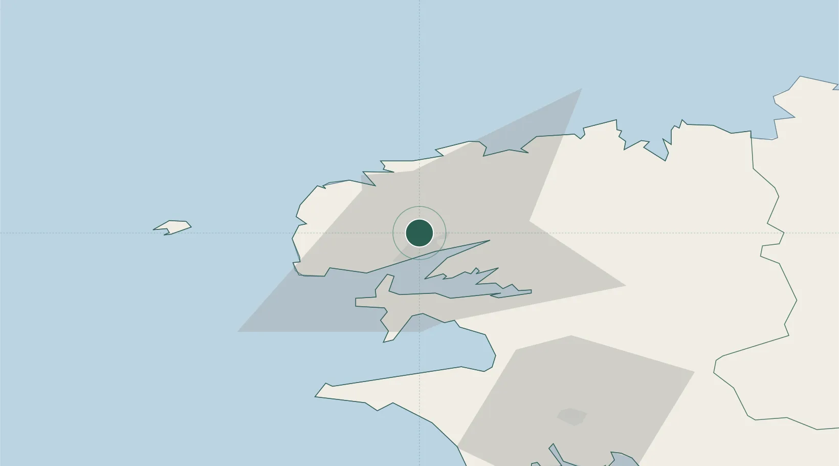
Nearby Logistics Neighbours

Cities
  1. 1Brest7 km
  2. 2Plouvien8 km
  3. 3Le Passage10 km
  4. 4La Forest-Landerneau11 km
  5. 5Dirinon16 km
Nearest neighbours — logibook spatial index (haversine) over the source coordinates
Ports
  1. 1Rade De Brest8 km
  2. 2Port De Roscoff-Bloscon48 km
  3. 3Morlaix49 km
  4. 4Concarneau77 km
  5. 5Treguier98 km
Nearest neighbours — logibook spatial index (haversine) over the source coordinates
Airports
  1. 1Brest Bretagne airport4 km
  2. 2Lanvéoc-Poulmic Air Base19 km
  3. 3Landivisiau Air Base25 km
  4. 4Ouessant Airport44 km
  5. 5Morlaix-Ploujean Airport51 km
Nearest neighbours — logibook spatial index (haversine) over the source coordinates
Trade Zones
  1. 1ZFU Saint-Nazaire209 km
  2. 2Oceansgate Plymouth215 km
  3. 3Heart of the South West Enterprise Zone218 km
  4. 4Cornwall Newquay Aerohub Enterprise Zone224 km
  5. 5ZFU Cherbourg-Octeville243 km
Nearest neighbours — logibook spatial index (haversine) over the source coordinates
DatabookThe Record of Consolidated Knowledge
France beyond logistics?
Browse databook

All Sources

LocationsUN/LOCODE
UN/LOCODE — free
LocationsGeoNames
CC BY 4.0
Portsthe NGA World Port Index
Public domain (US gov)
AirportsOurAirports
Public domain
Trade Zonesthe World Bank SEZ database
CC BY 4.0
Trade ZonesOpen Zone Map
CC BY
← France locations