UN/LOCODE hub · France
FRPZG

Le Passage

48.3833°, -4.3833°
2
Transport functions

Transport Functions

Road
Multimodal
UN/LOCODE

Hub Profile

Place type
Populated place
GeoNames
Region
Brittany
GeoNames
Time zone
Europe/Paris
GeoNames
Elevation
15 m
GeoNames

Location

Location of FRPZG
Natural Earth 10m (public domain) · Brittany · FRPZG · 48.38, -4.38GoogleOSMYandex

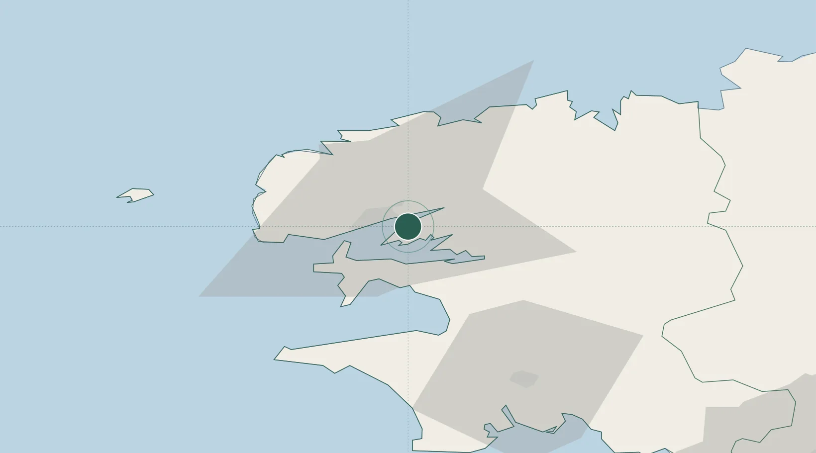
Nearby Logistics Neighbours

Cities
  1. 1Brest6 km
  2. 2La Forest-Landerneau7 km
  3. 3Dirinon9 km
  4. 4Gouesnou10 km
  5. 5Logonna-Daoulas10 km
Nearest neighbours — logibook spatial index (haversine) over the source coordinates
Ports
  1. 1Rade De Brest9 km
  2. 2Morlaix46 km
  3. 3Port De Roscoff-Bloscon49 km
  4. 4Concarneau67 km
  5. 5Treguier96 km
Nearest neighbours — logibook spatial index (haversine) over the source coordinates
Airports
  1. 1Brest Bretagne airport8 km
  2. 2Lanvéoc-Poulmic Air Base12 km
  3. 3Landivisiau Air Base24 km
  4. 4Quimper-Cornouaille Airport48 km
  5. 5Morlaix-Ploujean Airport48 km
Nearest neighbours — logibook spatial index (haversine) over the source coordinates
Trade Zones
  1. 1ZFU Saint-Nazaire200 km
  2. 2Oceansgate Plymouth221 km
  3. 3Heart of the South West Enterprise Zone225 km
  4. 4Cornwall Newquay Aerohub Enterprise Zone232 km
  5. 5ZFU Nantes et Saint-Herblain238 km
Nearest neighbours — logibook spatial index (haversine) over the source coordinates
DatabookThe Record of Consolidated Knowledge
France beyond logistics?
Browse databook

All Sources

LocationsUN/LOCODE
UN/LOCODE — free
Portsthe NGA World Port Index
Public domain (US gov)
AirportsOurAirports
Public domain
Trade Zonesthe World Bank SEZ database
CC BY 4.0
Trade ZonesOpen Zone Map
CC BY
← France locations