Channel & Berth Profile
Pilotage, Tugs & Services
Pilotage compulsoryNO
Pilotage availableYES
Pilotage advisableYES
Potable waterYES
Diesel bunkersYES
MedicalYES
Garbage disposalYES
Facilities & Capabilities
ContainerNO
Ro-RoYES
Liquid bulkNO
Dry bulkNO
Oil terminalNO
Break bulkYES
Dry dock—
RepairsNO
Bunkering—
Rail linkNO
Dangerous cargo—
ISPS security—
Harbour Specifications
Harbour size
Very Small
Harbour type
Coastal (Natural)
Shelter
Fair
Water body
North Atlantic Ocean
Tidal range
1 m
Pilotage
No
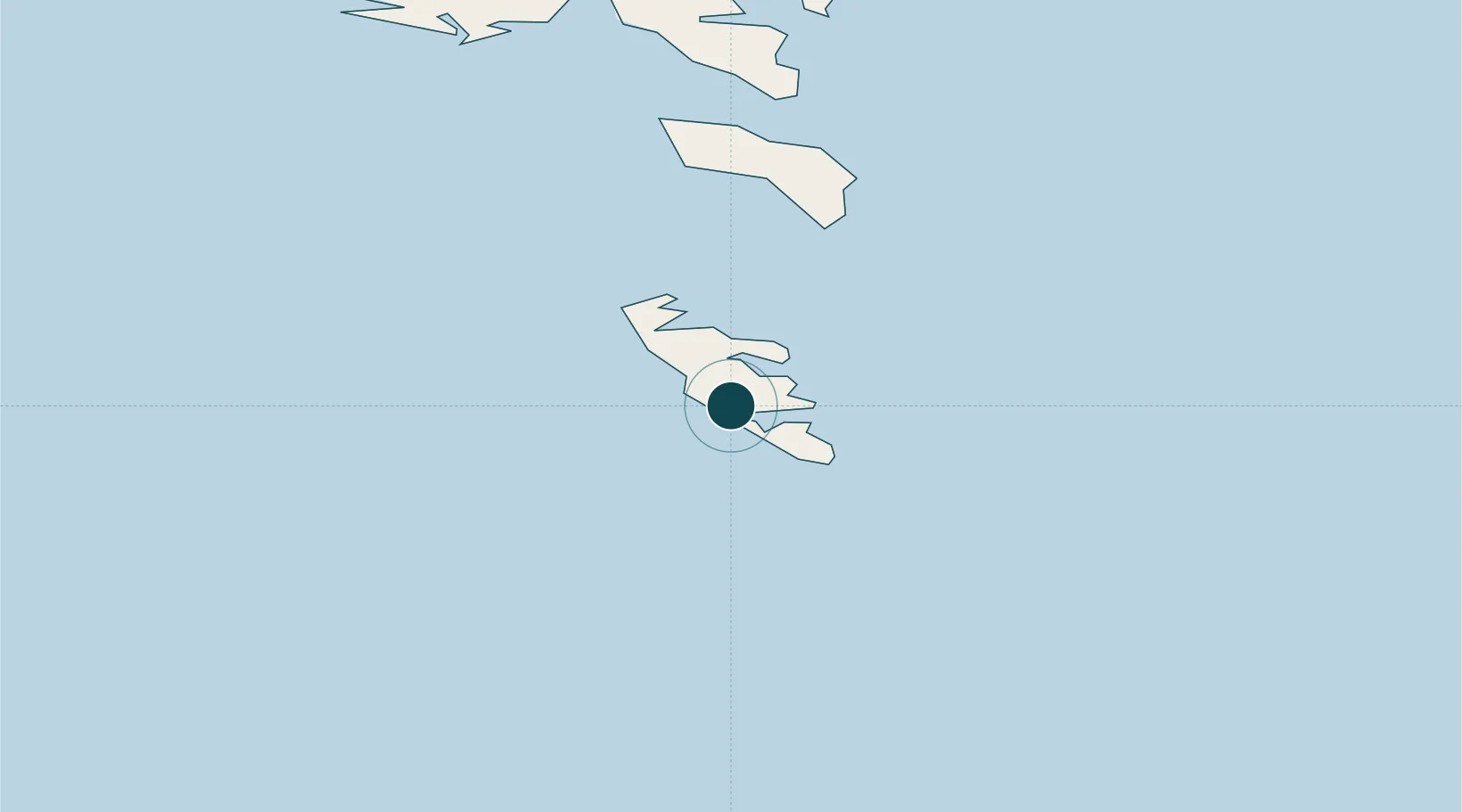
Location
Nearby Logistics Neighbours
Cities
- 1Tvoroyri7 km
- 2Velbastadur56 km
- 3Thorshavn59 km
- 4Nólsoy60 km
- 5Hoyvik61 km
Airports
- 1Froðba Heliport7 km
- 2Stóra Dímun Heliport23 km
- 3Skúvoy Heliport32 km
- 4Koltur Heliport56 km
- 5Boðanes Heliport60 km
Trade Zones
DatabookThe Record of Consolidated Knowledge
Faroe Islands beyond logistics?