Channel & Berth Profile
Pilotage, Tugs & Services
Pilotage compulsoryNO
Pilotage availableYES
Local assistanceYES
Tug assistanceNO
Salvage tugsNO
Shore powerYES
Potable waterYES
Diesel bunkersYES
MedicalYES
Garbage disposalYES
Facilities & Capabilities
ContainerYES
Ro-RoYES
Liquid bulkNO
Dry bulkNO
Oil terminalNO
Break bulkNO
Dry dock—
RepairsNO
Bunkering—
Rail link—
Dangerous cargo—
ISPS securityYES
Harbour Specifications
Harbour size
Very Small
Harbour type
Coastal (Natural)
Shelter
Fair
Water body
North Atlantic Ocean
Tidal range
1.5 m
Pilotage
No
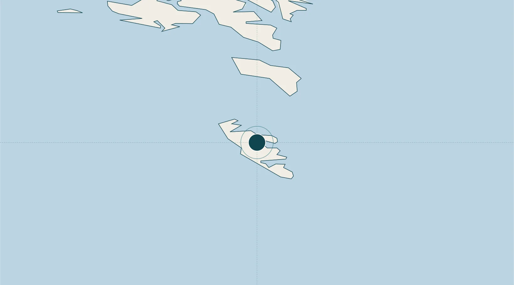
Location
Nearby Logistics Neighbours
Cities
- 1Vágur9 km
- 2Velbastadur48 km
- 3Thorshavn52 km
- 4Nólsoy52 km
- 5Hoyvik54 km
Airports
- 1Froðba Heliport2 km
- 2Stóra Dímun Heliport15 km
- 3Skúvoy Heliport24 km
- 4Koltur Heliport49 km
- 5Boðanes Heliport53 km
Trade Zones
DatabookThe Record of Consolidated Knowledge
Faroe Islands beyond logistics?