Transport Functions
Port
Road
Hub Profile
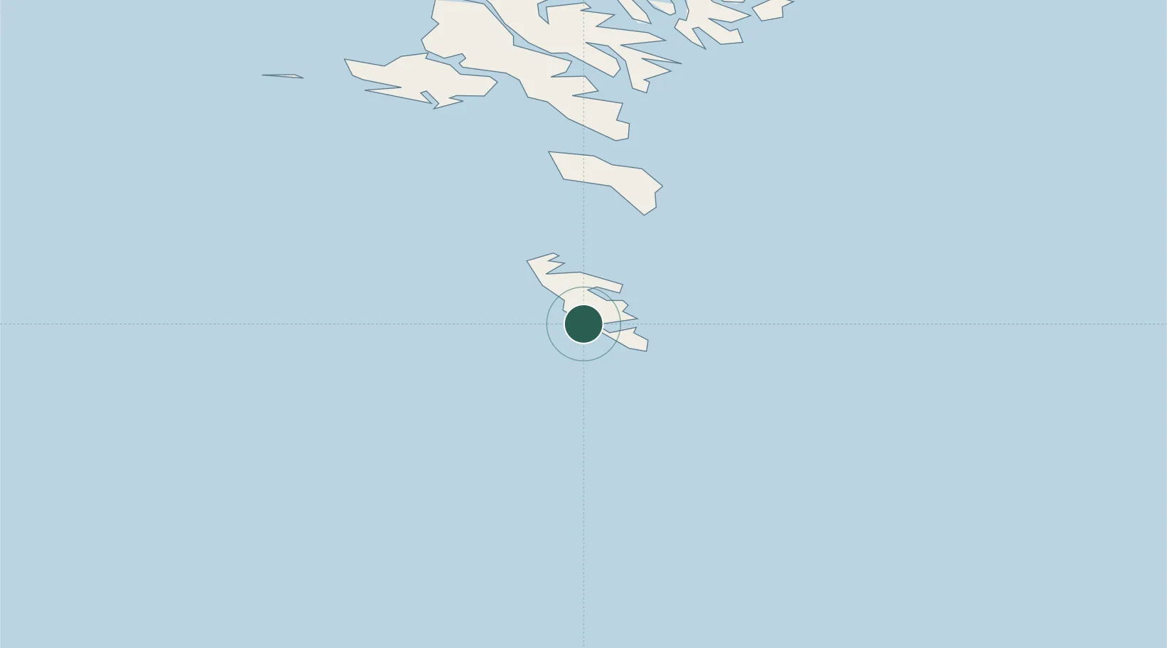
Place type
Populated place
Region
Suðuroy
Population
1,363
Time zone
Atlantic/Faroe
Elevation
144 m
Location
Nearby Logistics Neighbours
Cities
- 1Tvoroyri9 km
- 2Velbastadur58 km
- 3Thorshavn61 km
- 4Nólsoy62 km
- 5Hoyvik63 km
Airports
- 1Froðba Heliport9 km
- 2Stóra Dímun Heliport25 km
- 3Skúvoy Heliport34 km
- 4Koltur Heliport58 km
- 5Boðanes Heliport62 km
Trade Zones
DatabookThe Record of Consolidated Knowledge
Faroe Islands beyond logistics?