Runway & Layout

Airport Specifications
ICAO code
EKFA
Airport class
Heliport
Scheduled service
Yes
Served city
Froðba
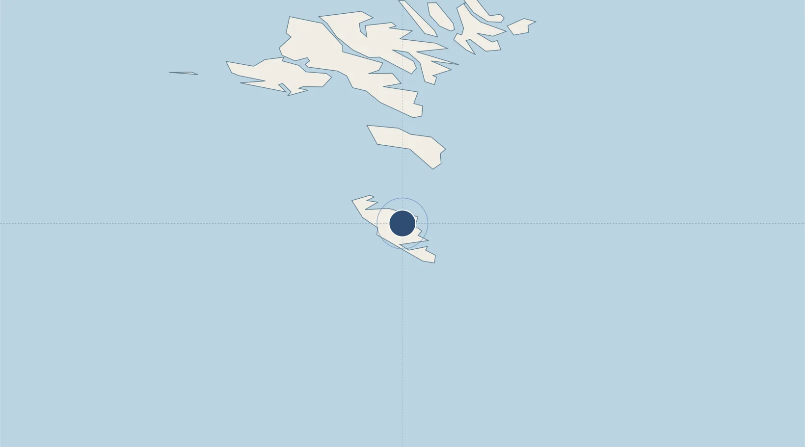
Location
Nearby Logistics Neighbours
Airports
- 1Stóra Dímun Heliport16 km
- 2Skúvoy Heliport25 km
- 3Koltur Heliport50 km
- 4Boðanes Heliport53 km
- 5Vágar Airport64 km
Cities
- 1Tvoroyri2 km
- 2Vágur9 km
- 3Velbastadur49 km
- 4Thorshavn53 km
- 5Nólsoy53 km
Trade Zones
DatabookThe Record of Consolidated Knowledge
Faroe Islands beyond logistics?