Runway & Layout

Airport Specifications
IATA code
PTF
ICAO code
NFFO
Airport class
Small airport
Scheduled service
Yes
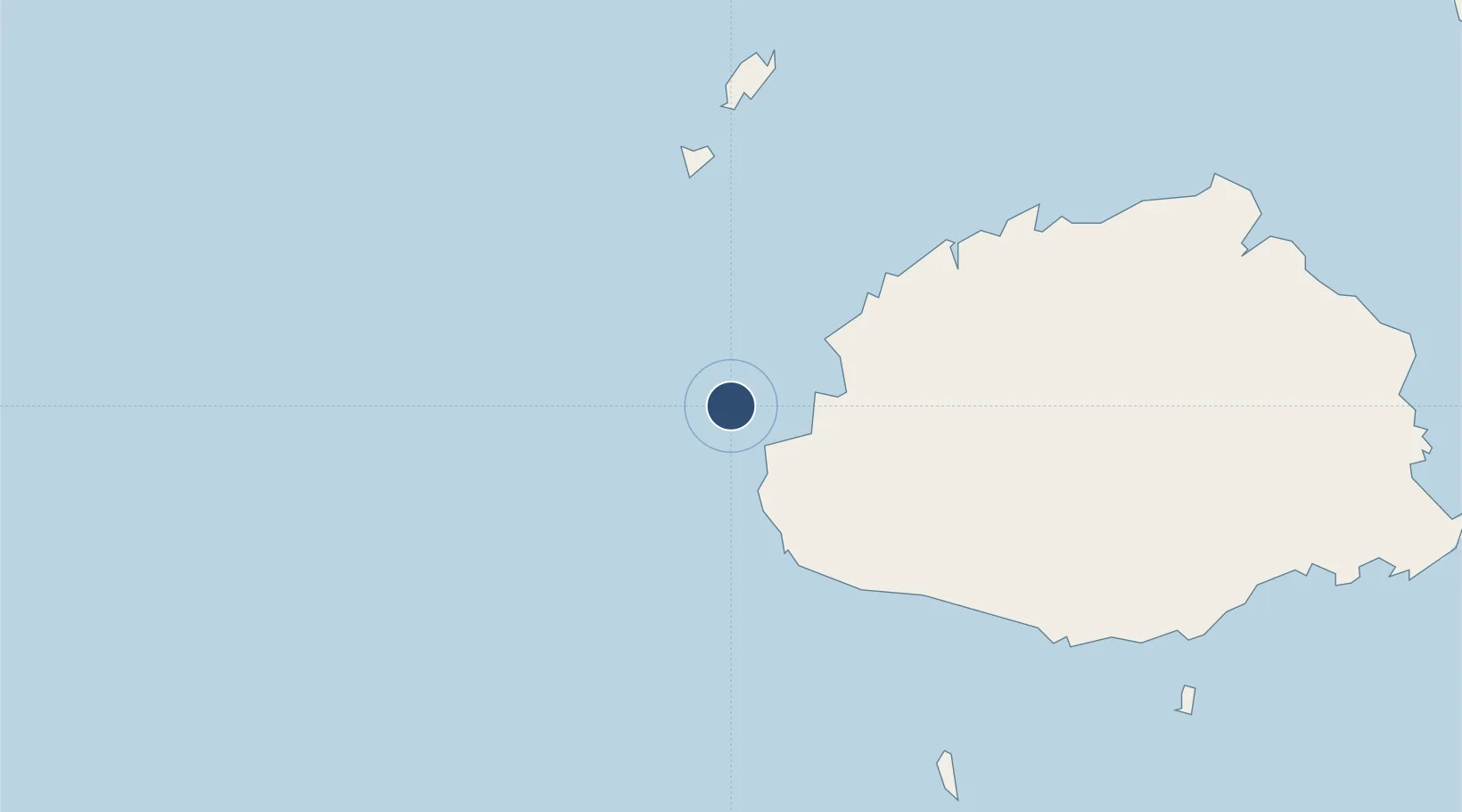
Served city
Malolo Lailai Island
Location
Nearby Logistics Neighbours
Airports
- 1Mana Island Airport16 km
- 2Nadi International Airport26 km
- 3Yasawa Island Airport119 km
- 4Nausori International Airport147 km
- 5Levuka Airfield166 km
Ports
- 1Lautoka Harbor33 km
- 2Suva Harbor135 km
- 3Savusavu Bay253 km
- 4Port Vila940 km
- 5Funafuti Atoll1051 km
Trade Zones
- 1Lautoka Special Zone31 km
- 2Rotuma-Kadavu Tax-Free Region136 km
- 3Kalabu Tax Free Zone140 km
- 4Nausori-Ba Tax-Free Region143 km
- 5Vanua Levu Tax-Free Region231 km
DatabookThe Record of Consolidated Knowledge
Fiji beyond logistics?