UN/LOCODE hub · Fiji
FJLTK
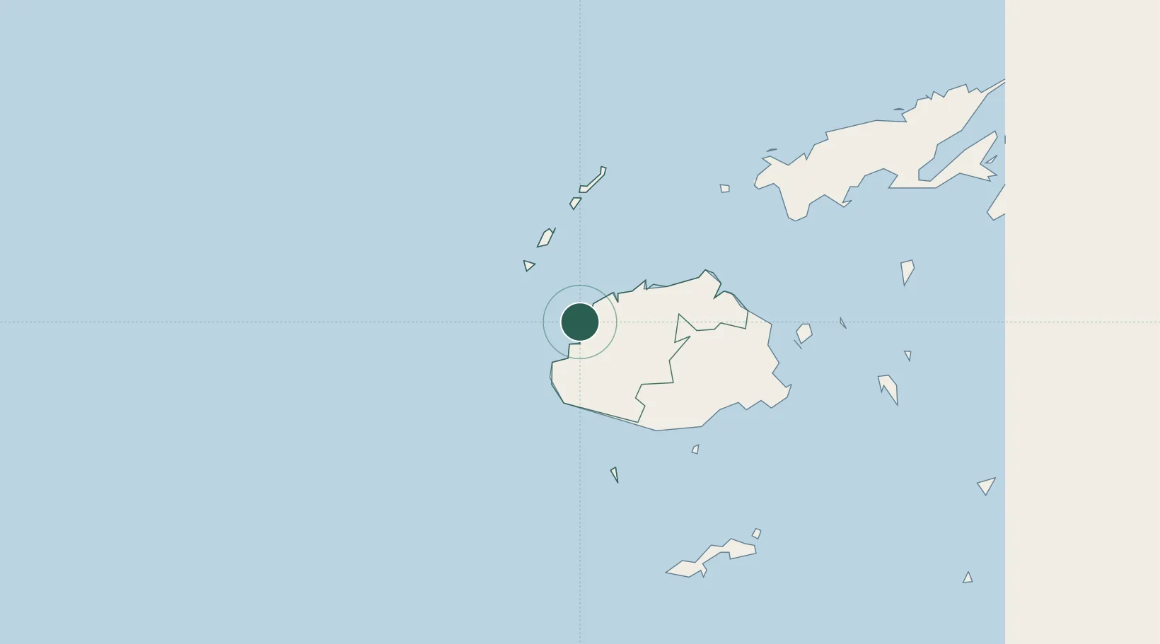
Lautoka
-17.6166°, 177.4339°
52,500
Population
3
Transport functions
1
Container terminals
Transport Functions
Port
Rail
Road
Hub Profile
Place type
Regional capital
Region
Western
Population
52,500
Time zone
Pacific/Fiji
Elevation
47 m
Logistics facilities
4
Container terminals
1
Location
Nearby Logistics Neighbours
Cities
- 1Vuda7 km
- 2Denarau18 km
- 3Momi37 km
- 4Vatia Wharf43 km
- 5Singatoka62 km
Ports
- 1Suva Harbor119 km
- 2Savusavu Bay223 km
- 3Port Vila966 km
- 4Funafuti Atoll1028 km
- 5Luganville1119 km
Airports
- 1Nadi International Airport16 km
- 2Malolo Lailai Island Airport31 km
- 3Mana Island Airport36 km
- 4Yasawa Island Airport96 km
- 5Nausori International Airport129 km
Trade Zones
- 1Lautoka Special Zone1 km
- 2Rotuma-Kadavu Tax-Free Region120 km
- 3Kalabu Tax Free Zone123 km
- 4Nausori-Ba Tax-Free Region124 km
- 5Vanua Levu Tax-Free Region200 km
DatabookThe Record of Consolidated Knowledge
Fiji beyond logistics?