UN/LOCODE hub · Fiji
FJMOM

Momi

-17.9167°, 177.2833°
3
Transport functions

Transport Functions

Port
Rail
Road
UN/LOCODE

Hub Profile

Place type
Populated place
GeoNames
Region
Western
GeoNames
Time zone
Pacific/Fiji
GeoNames
Elevation
11 m
GeoNames

Location

Location of FJMOM
Natural Earth 10m (public domain) · Western · FJMOM · -17.92, 177.28GoogleOSMYandex

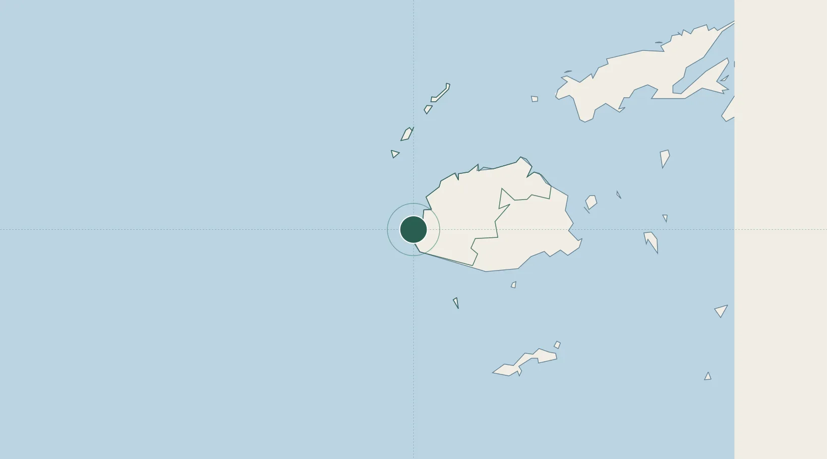
Nearby Logistics Neighbours

Cities
  1. 1Denarau20 km
  2. 2Lautoka37 km
  3. 3Singatoka37 km
  4. 4Vuda42 km
  5. 5Vatia Wharf77 km
Nearest neighbours — logibook spatial index (haversine) over the source coordinates
Ports
  1. 1Lautoka Harbor39 km
  2. 2Suva Harbor122 km
  3. 3Savusavu Bay252 km
  4. 4Port Vila949 km
  5. 5Funafuti Atoll1064 km
Nearest neighbours — logibook spatial index (haversine) over the source coordinates
Airports
  1. 1Malolo Lailai Island Airport18 km
  2. 2Nadi International Airport24 km
  3. 3Mana Island Airport33 km
  4. 4Yasawa Island Airport132 km
  5. 5Nausori International Airport136 km
Nearest neighbours — logibook spatial index (haversine) over the source coordinates
Trade Zones
  1. 1Lautoka Special Zone37 km
  2. 2Rotuma-Kadavu Tax-Free Region123 km
  3. 3Kalabu Tax Free Zone128 km
  4. 4Nausori-Ba Tax-Free Region132 km
  5. 5Vanua Levu Tax-Free Region233 km
Nearest neighbours — logibook spatial index (haversine) over the source coordinates
DatabookThe Record of Consolidated Knowledge
Fiji beyond logistics?
Browse databook

All Sources

LocationsUN/LOCODE
UN/LOCODE — free
Portsthe NGA World Port Index
Public domain (US gov)
AirportsOurAirports
Public domain
Trade Zonesthe World Bank SEZ database
CC BY 4.0
Trade ZonesOpen Zone Map
CC BY
← Fiji locations