Small airport · Fiji
Yasawa Island AirportNFSW
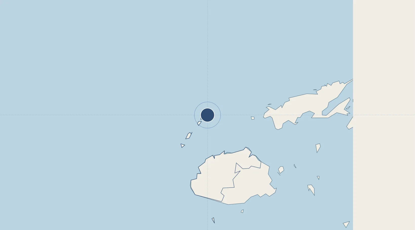
-16.7589°, 177.5450°
1,950 ft
Longest runway
1
Runways
29 ft
Elevation
Runway & Layout

Runways · 1
| Runway | Dimensions | Surface | True heading | Lit |
|---|---|---|---|---|
| 03/21 | 1,950 × —ft | Dirt | — | — |
Airport Specifications
IATA code
YAS
ICAO code
NFSW
Airport class
Small airport
Scheduled service
Yes
Runway surface
Dirt
Served city
Yasawa Island
Location
Nearby Logistics Neighbours
Airports
- 1Nadi International Airport112 km
- 2Mana Island Airport112 km
- 3Malolo Lailai Island Airport119 km
- 4Levuka Airfield167 km
- 5Nausori International Airport179 km
Cities
- 1Vatia Wharf75 km
- 2Vuda94 km
- 3Lautoka96 km
- 4Ellington Wharf97 km
- 5Denarau113 km
Ports
- 1Lautoka Harbor94 km
- 2Suva Harbor179 km
- 3Savusavu Bay190 km
- 4Funafuti Atoll933 km
- 5Port Vila986 km
Trade Zones
- 1Lautoka Special Zone97 km
- 2Vanua Levu Tax-Free Region156 km
- 3Nausori-Ba Tax-Free Region175 km
- 4Kalabu Tax Free Zone178 km
- 5Rotuma-Kadavu Tax-Free Region180 km
DatabookThe Record of Consolidated Knowledge
Fiji beyond logistics?