UN/LOCODE hub · Finland
FIPSI

Poitsila

60.5500°, 27.1667°
3
Transport functions

Transport Functions

Port
Rail
Road
UN/LOCODE

Hub Profile

Region
09
GeoNames

Location

Location of FIPSI
Natural Earth 10m (public domain) · 09 · FIPSI · 60.55, 27.17GoogleOSMYandex

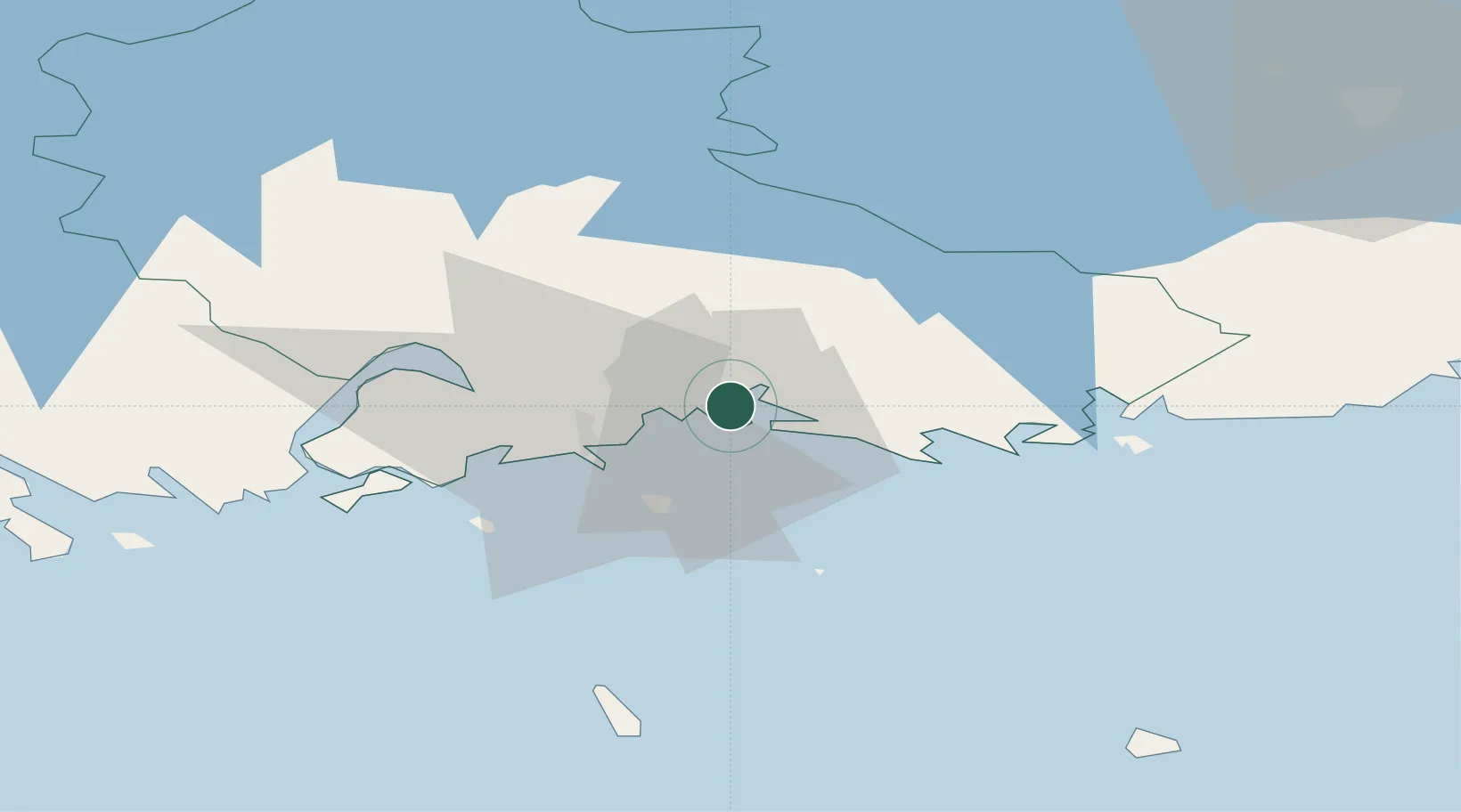
Nearby Logistics Neighbours

Cities
  1. 1Fredrikshamn (Hamina)3 km
  2. 2Summa3 km
  3. 3Lakulahti4 km
  4. 4Kymenlaakso11 km
  5. 5Sunila14 km
Nearest neighbours — logibook spatial index (haversine) over the source coordinates
Ports
  1. 1Hamina3 km
  2. 2Kotka14 km
  3. 3Loviisa52 km
  4. 4Gavan Vysotsk77 km
  5. 5Primorsk83 km
Nearest neighbours — logibook spatial index (haversine) over the source coordinates
Airports
  1. 1Helsinki East-Redstone Aerodrome32 km
  2. 2Utti Air Base41 km
  3. 3Lappeenranta Airport76 km
  4. 4Pribylovo Naval Air Base87 km
  5. 5Helsinki Vantaa Airport124 km
Nearest neighbours — logibook spatial index (haversine) over the source coordinates
Trade Zones
  1. 1Port of Hamina-Kotka15 km
  2. 2Free Zone of Lappeenranta75 km
  3. 3Port of Sillamäe129 km
  4. 4St Petersburg Technology Innovative Special Economic Zone175 km
  5. 5Muuga Free Zone184 km
Nearest neighbours — logibook spatial index (haversine) over the source coordinates
DatabookThe Record of Consolidated Knowledge
Finland beyond logistics?
Browse databook

All Sources

LocationsUN/LOCODE
UN/LOCODE — free
Portsthe NGA World Port Index
Public domain (US gov)
AirportsOurAirports
Public domain
Trade Zonesthe World Bank SEZ database
CC BY 4.0
Trade ZonesOpen Zone Map
CC BY
← Finland locations