Channel & Berth Profile
Pilotage, Tugs & Services
Pilotage availableYES
Pilotage advisableYES
Tug assistanceYES
Potable waterYES
MedicalYES
Garbage disposalYES
Facilities & Capabilities
ContainerYES
Ro-RoYES
Liquid bulkYES
Dry bulkYES
Oil terminalNO
Break bulkYES
Dry dock—
RepairsNO
BunkeringYES
Rail linkYES
Dangerous cargo—
ISPS security—
Harbour Specifications
Harbour size
Medium
Harbour type
Coastal (Natural)
Shelter
Good
Water body
Gulf of Finland; Baltic Sea; North Atlantic Ocean
Tidal range
2 m
Overhead limit
Yes
Liner Connectivity
8.4
PLSCI
Port Liner Shipping Connectivity Index for Vyborg, as published by UNCTAD for the latest available quarter. Higher values indicate stronger scheduled liner-shipping integration.
Shown relative to the highest per-port PLSCI in the dataset (1,657.9).
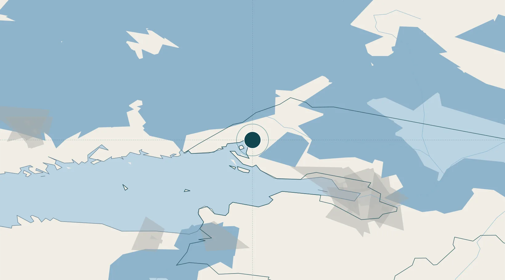
Location
Nearby Logistics Neighbours
Ports
- 1Gavan Vysotsk15 km
- 2Primorsk39 km
- 3Hamina86 km
- 4Kronshtadt99 km
- 5Kotka101 km
Cities
- 1Vysotsk14 km
- 2Joutseno45 km
- 3Mustola46 km
- 4Lappeenranta (Villmanstrand)48 km
- 5Imatra50 km
Airports
- 1Pribylovo Naval Air Base29 km
- 2Lappeenranta Airport49 km
- 3Utti Air Base100 km
- 4Levashovo Air Base106 km
- 5Helsinki East-Redstone Aerodrome121 km
Trade Zones
- 1Free Zone of Lappeenranta50 km
- 2Port of Hamina-Kotka103 km
- 3St Petersburg Technology Innovative Special Economic Zone119 km
- 4Port of Sillamäe155 km
- 5Muuga Free Zone261 km
DatabookThe Record of Consolidated Knowledge
Russia beyond logistics?