Transport Functions
Port
Road
Hub Profile
Place type
Populated place
Region
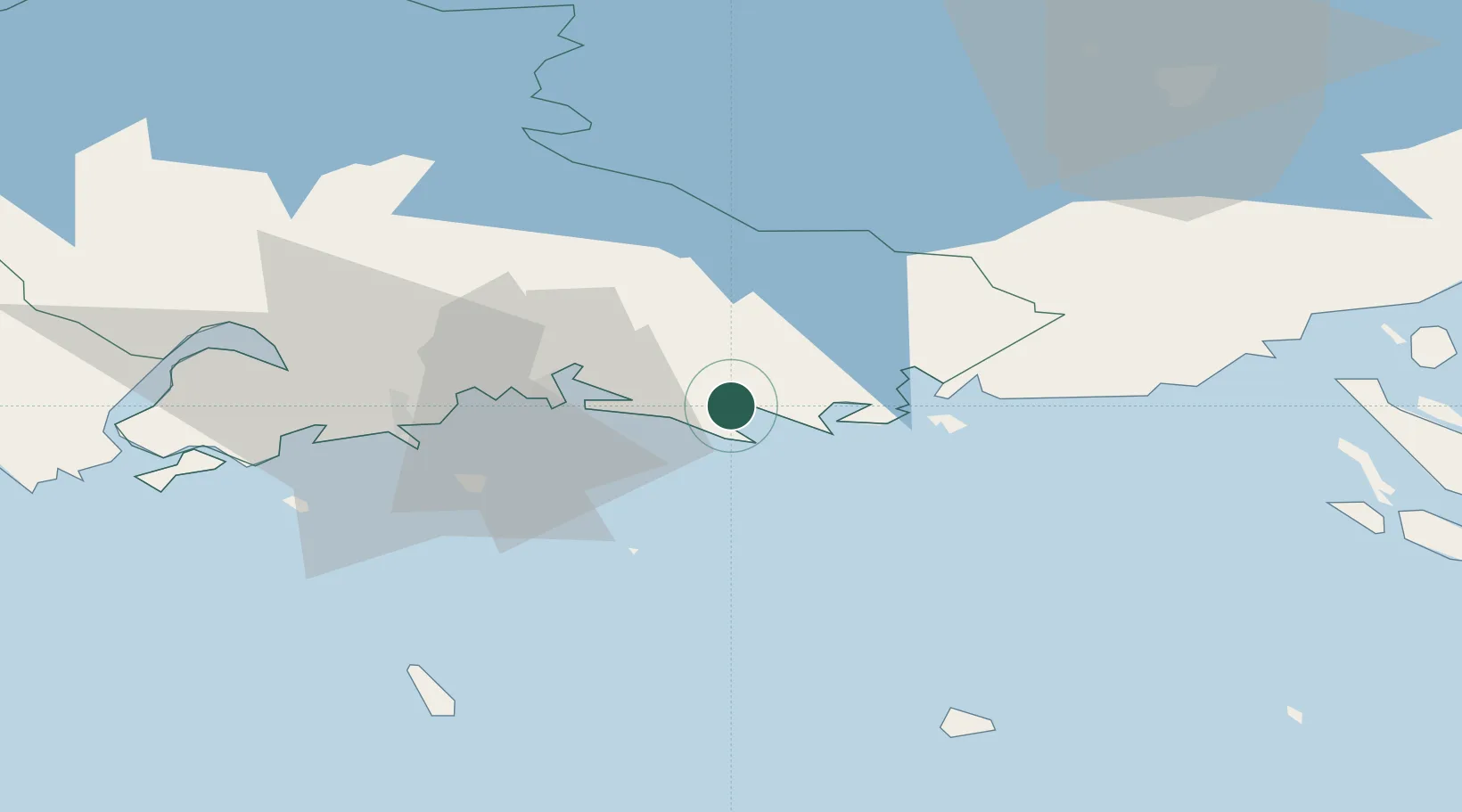
Kymenlaakso
Time zone
Europe/Helsinki
Elevation
23 m
Location
Nearby Logistics Neighbours
Cities
- 1Fredrikshamn (Hamina)16 km
- 2Lakulahti16 km
- 3Poitsila17 km
- 4Summa19 km
- 5Kymenlaakso26 km
Ports
- 1Hamina16 km
- 2Kotka28 km
- 3Gavan Vysotsk61 km
- 4Primorsk66 km
- 5Loviisa68 km
Airports
- 1Helsinki East-Redstone Aerodrome48 km
- 2Utti Air Base51 km
- 3Lappeenranta Airport69 km
- 4Pribylovo Naval Air Base70 km
- 5Mikkeli Airport131 km
Trade Zones
DatabookThe Record of Consolidated Knowledge
Finland beyond logistics?