UN/LOCODE hub · Finland
FIHMN

Fredrikshamn (Hamina)

60.5667°, 27.2000°
1
Transport functions

Transport Functions

Port
Fredrikshamn (Hamina) is also a profiled seaport →
UN/LOCODE

Hub Profile

Region
09
GeoNames

Location

Location of FIHMN
Natural Earth 10m (public domain) · 09 · FIHMN · 60.57, 27.20GoogleOSMYandex

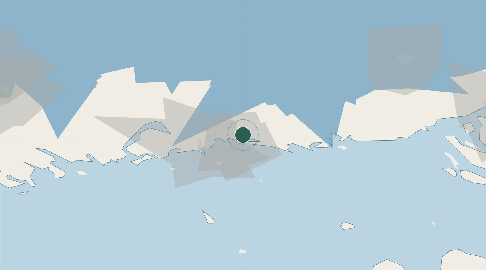
Nearby Logistics Neighbours

Cities
  1. 1Poitsila3 km
  2. 2Lakulahti6 km
  3. 3Summa6 km
  4. 4Kymenlaakso13 km
  5. 5Klamila16 km
Nearest neighbours — logibook spatial index (haversine) over the source coordinates
Ports
  1. 1Kotka17 km
  2. 2Loviisa55 km
  3. 3Gavan Vysotsk75 km
  4. 4Primorsk82 km
  5. 5Vyborg86 km
Nearest neighbours — logibook spatial index (haversine) over the source coordinates
Airports
  1. 1Helsinki East-Redstone Aerodrome35 km
  2. 2Utti Air Base39 km
  3. 3Lappeenranta Airport74 km
  4. 4Pribylovo Naval Air Base86 km
  5. 5Mikkeli Airport125 km
Nearest neighbours — logibook spatial index (haversine) over the source coordinates
Trade Zones
  1. 1Port of Hamina-Kotka18 km
  2. 2Free Zone of Lappeenranta72 km
  3. 3Port of Sillamäe131 km
  4. 4St Petersburg Technology Innovative Special Economic Zone174 km
  5. 5Muuga Free Zone187 km
Nearest neighbours — logibook spatial index (haversine) over the source coordinates
DatabookThe Record of Consolidated Knowledge
Finland beyond logistics?
Browse databook

All Sources

LocationsUN/LOCODE
UN/LOCODE — free
Portsthe NGA World Port Index
Public domain (US gov)
AirportsOurAirports
Public domain
Trade Zonesthe World Bank SEZ database
CC BY 4.0
Trade ZonesOpen Zone Map
CC BY
← Finland locations