Seaport · Spain
Santa Cruz De La PalmaESSPC
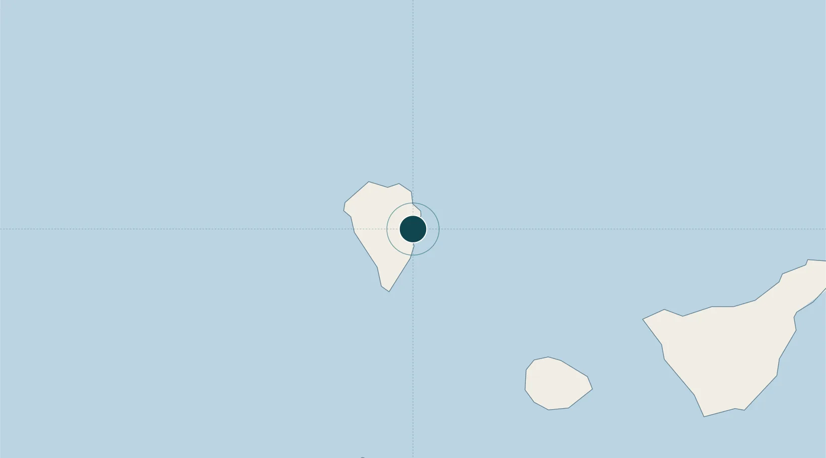
28.6833°, -17.7500°
12.5 m
Channel depth
1
Container terminals
19.8
Port liner connectivity
Channel & Berth Profile
Pilotage, Tugs & Services
Pilotage compulsoryYES
Pilotage availableYES
Tug assistanceNO
Potable waterYES
MedicalYES
Facilities & Capabilities
Container—
Ro-Ro—
Liquid bulk—
Dry bulk—
Oil terminal—
Break bulk—
Dry dock—
RepairsNO
Bunkering—
Rail link—
Dangerous cargo—
ISPS security—
Harbour Specifications
Harbour size
Very Small
Harbour type
Coastal (Breakwater)
Shelter
Fair
Water body
North Atlantic Ocean
Tidal range
2 m
Pilotage
Yes
Liner Connectivity
19.8
PLSCI
Port Liner Shipping Connectivity Index for Santa Cruz De La Palma, as published by UNCTAD for the latest available quarter. Higher values indicate stronger scheduled liner-shipping integration.
Shown relative to the highest per-port PLSCI in the dataset (1,657.9).
Location
Container Terminals · 1
BOLUDA MARITIME TERMINALS LA PALMA
BMT BOLUDA CORPORACION MARITIMA S.A.
Nearby Logistics Neighbours
Ports
- 1Santa Cruz De Tenerife150 km
- 2Las Palmas236 km
- 3Puerto Del Rosario381 km
- 4Arrecife412 km
- 5Funchal446 km
Cities
- 1Breña Baja6 km
- 2Villa de Mazo9 km
- 3Roque De Los Muchachos15 km
- 4Tazacorte19 km
- 5Tijarafe20 km
Airports
- 1La Palma Airport6 km
- 2La Gomera Airport90 km
- 3El Hierro Airport98 km
- 4Tenerife Sur Airport135 km
- 5Tenerife Norte-Ciudad de La Laguna Airport139 km
Trade Zones
DatabookThe Record of Consolidated Knowledge
Spain beyond logistics?