Seaport · Portugal
FunchalPTFNC
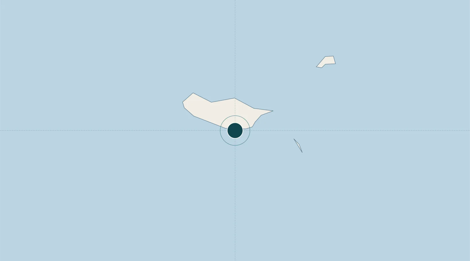
32.6333°, -16.9167°
12.5 m
Channel depth
1
Container terminals
24.1
Port liner connectivity
Channel & Berth Profile
Pilotage, Tugs & Services
Pilotage compulsoryYES
Pilotage availableYES
Pilotage advisableYES
Tug assistanceYES
Shore powerYES
Potable waterYES
Diesel bunkersYES
MedicalYES
Garbage disposalYES
Facilities & Capabilities
Container—
Ro-Ro—
Liquid bulk—
Dry bulk—
Oil terminal—
Break bulk—
Dry dockNO
RepairsNO
BunkeringYES
Rail link—
Dangerous cargo—
ISPS security—
Harbour Specifications
Harbour size
Large
Harbour type
Coastal (Breakwater)
Shelter
Excellent
Water body
North Atlantic Ocean
Tidal range
2 m
Pilotage
Yes
Liner Connectivity
24.1
PLSCI
Port Liner Shipping Connectivity Index for Funchal, as published by UNCTAD for the latest available quarter. Higher values indicate stronger scheduled liner-shipping integration.
Shown relative to the highest per-port PLSCI in the dataset (1,657.9).
Location
Container Terminals · 1
FUNCHAL PORT MADEIRA
APRAM ADMINISTRACAO DOS PORTOS DA REGIAO AUTONOMA DA MADEIRA, SA
Nearby Logistics Neighbours
Ports
- 1Santa Cruz De La Palma446 km
- 2Santa Cruz De Tenerife468 km
- 3Las Palmas519 km
- 4Arrecife522 km
- 5Puerto Del Rosario545 km
Cities
- 1Câmara de Lobos5 km
- 2Machico16 km
- 3Zona Franca da Madeira16 km
- 4Porto da Cruz17 km
- 5Caniçal21 km
Airports
Trade Zones
DatabookThe Record of Consolidated Knowledge
Portugal beyond logistics?