Transport Functions
Port
Hub Profile
Place type
District seat
Region
Canary Islands
Population
4,245
Time zone
Atlantic/Canary
Elevation
539 m
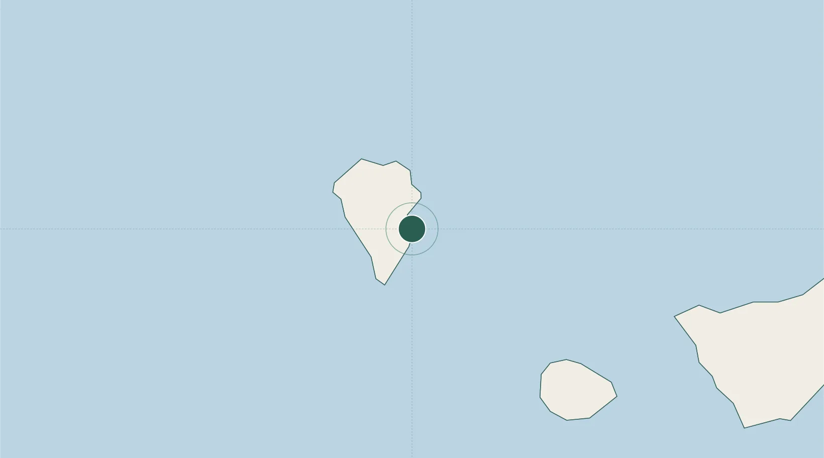
Location
Nearby Logistics Neighbours
Cities
- 1Villa de Mazo4 km
- 2Santa Cruz de La Palma5 km
- 3Tazacorte18 km
- 4Roque De Los Muchachos18 km
- 5Tijarafe21 km
Ports
- 1Santa Cruz De La Palma6 km
- 2Santa Cruz De Tenerife149 km
- 3Las Palmas235 km
- 4Puerto Del Rosario381 km
- 5Arrecife412 km
Airports
- 1La Palma Airport1 km
- 2La Gomera Airport85 km
- 3El Hierro Airport92 km
- 4Tenerife Sur Airport133 km
- 5Tenerife Norte-Ciudad de La Laguna Airport139 km
Trade Zones
DatabookThe Record of Consolidated Knowledge
Spain beyond logistics?