Transport Functions
Port
Road
Hub Profile
Place type
District seat
Region
Canary Islands
Population
5,670
Time zone
Atlantic/Canary
Elevation
111 m
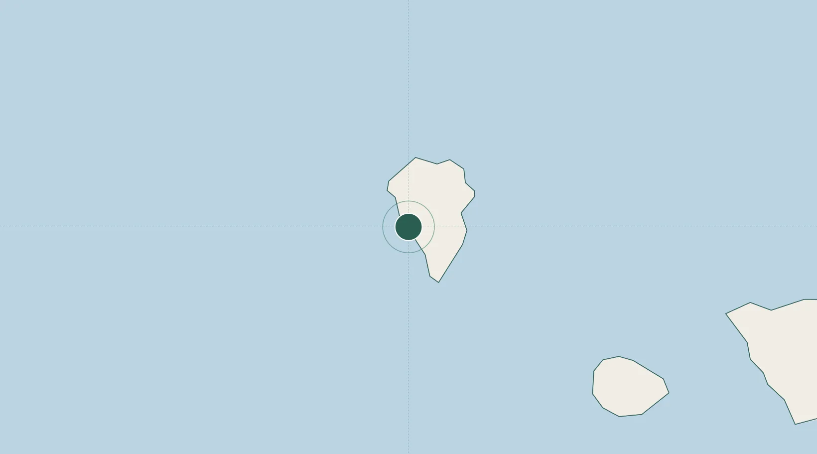
Location
Nearby Logistics Neighbours
Cities
- 1Tijarafe8 km
- 2Roque De Los Muchachos14 km
- 3Villa de Mazo17 km
- 4Santa Cruz de La Palma17 km
- 5Breña Baja18 km
Ports
- 1Santa Cruz De La Palma19 km
- 2Santa Cruz De Tenerife167 km
- 3Las Palmas252 km
- 4Puerto Del Rosario399 km
- 5Arrecife430 km
Airports
- 1La Palma Airport17 km
- 2El Hierro Airport91 km
- 3La Gomera Airport97 km
- 4Tenerife Sur Airport148 km
- 5Tenerife Norte-Ciudad de La Laguna Airport156 km
Trade Zones
DatabookThe Record of Consolidated Knowledge
Spain beyond logistics?