Transport Functions
Multimodal
Hub Profile
Region
TF
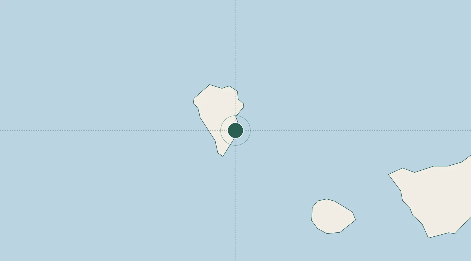
Location
Nearby Logistics Neighbours
Cities
- 1Breña Baja4 km
- 2Santa Cruz de La Palma9 km
- 3Tazacorte17 km
- 4Roque De Los Muchachos20 km
- 5Tijarafe21 km
Ports
- 1Santa Cruz De La Palma9 km
- 2Santa Cruz De Tenerife151 km
- 3Las Palmas235 km
- 4Puerto Del Rosario383 km
- 5Arrecife414 km
Airports
- 1La Palma Airport3 km
- 2La Gomera Airport83 km
- 3El Hierro Airport88 km
- 4Tenerife Sur Airport132 km
- 5Tenerife Norte-Ciudad de La Laguna Airport140 km
Trade Zones
DatabookThe Record of Consolidated Knowledge
Spain beyond logistics?