UN/LOCODE hub · Spain
ESSPC
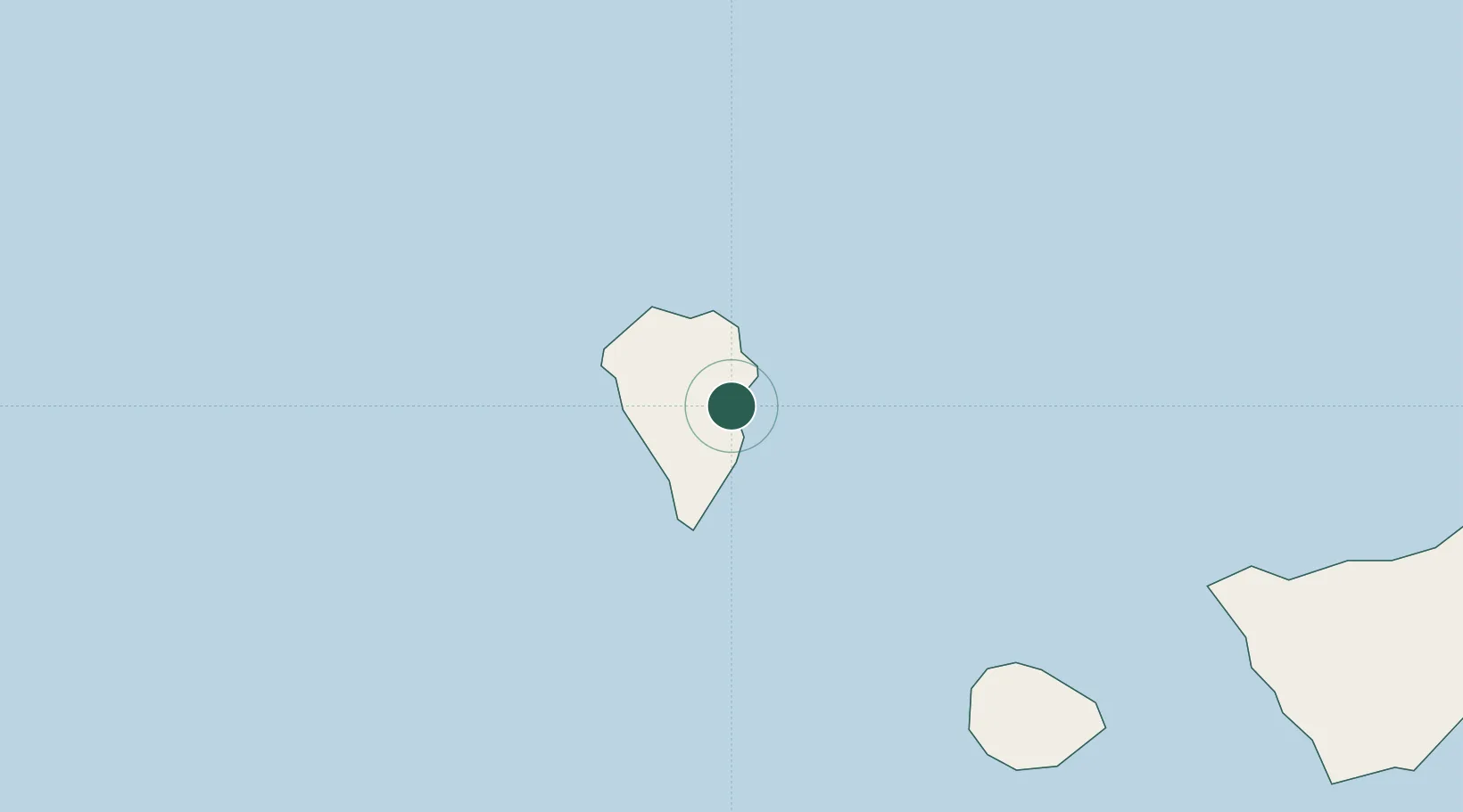
Santa Cruz de La Palma
28.6779°, -17.7685°
15,674
Population
2
Transport functions
1
Container terminals
Transport Functions
Port
Airport
Hub Profile
Place type
Populated place
Region
Canary Islands
Population
15,674
Time zone
Atlantic/Canary
Elevation
18 m
Logistics facilities
3
Container terminals
1
Location
Nearby Logistics Neighbours
Cities
- 1Breña Baja5 km
- 2Villa de Mazo9 km
- 3Roque De Los Muchachos14 km
- 4Tazacorte17 km
- 5Tijarafe18 km
Ports
- 1Santa Cruz De Tenerife152 km
- 2Las Palmas237 km
- 3Puerto Del Rosario383 km
- 4Arrecife414 km
- 5Funchal447 km
Airports
- 1La Palma Airport6 km
- 2La Gomera Airport90 km
- 3El Hierro Airport97 km
- 4Tenerife Sur Airport137 km
- 5Tenerife Norte-Ciudad de La Laguna Airport141 km
Trade Zones
DatabookThe Record of Consolidated Knowledge
Spain beyond logistics?