Transport Functions
Multimodal
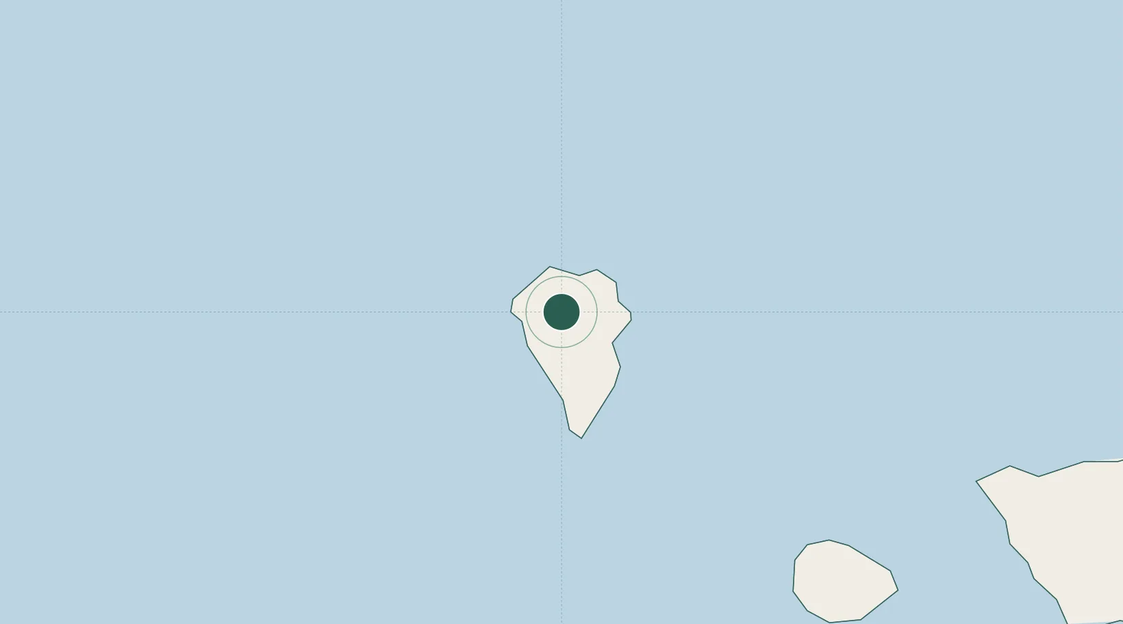
Hub Profile
Region
TF
Location
Nearby Logistics Neighbours
Cities
- 1Tijarafe9 km
- 2Santa Cruz de La Palma14 km
- 3Tazacorte14 km
- 4Breña Baja18 km
- 5Villa de Mazo20 km
Ports
- 1Santa Cruz De La Palma15 km
- 2Santa Cruz De Tenerife164 km
- 3Las Palmas250 km
- 4Puerto Del Rosario395 km
- 5Arrecife424 km
Airports
- 1La Palma Airport19 km
- 2La Gomera Airport103 km
- 3El Hierro Airport104 km
- 4Tenerife Sur Airport150 km
- 5Tenerife Norte-Ciudad de La Laguna Airport153 km
Trade Zones
DatabookThe Record of Consolidated Knowledge
Spain beyond logistics?