Seaport · Spain
Santa Cruz De TenerifeESSCT
28.4667°, -16.2333°
11.0 m
Channel depth
2
Container terminals
107.4
Port liner connectivity
Channel & Berth Profile
Pilotage, Tugs & Services
Pilotage compulsoryYES
Tug assistanceYES
Potable waterYES
Diesel bunkersYES
MedicalYES
Garbage disposalYES
Facilities & Capabilities
Container—
Ro-Ro—
Liquid bulk—
Dry bulk—
Oil terminal—
Break bulk—
Dry dockNO
RepairsNO
BunkeringYES
Rail link—
Dangerous cargo—
ISPS security—
Harbour Specifications
Harbour size
Medium
Harbour type
Coastal (Breakwater)
Shelter
Good
Water body
North Atlantic Ocean
Tidal range
2 m
Pilotage
Yes
Liner Connectivity
107.4
PLSCI
Port Liner Shipping Connectivity Index for Santa Cruz De Tenerife, as published by UNCTAD for the latest available quarter. Higher values indicate stronger scheduled liner-shipping integration.
Shown relative to the highest per-port PLSCI in the dataset (1,657.9).
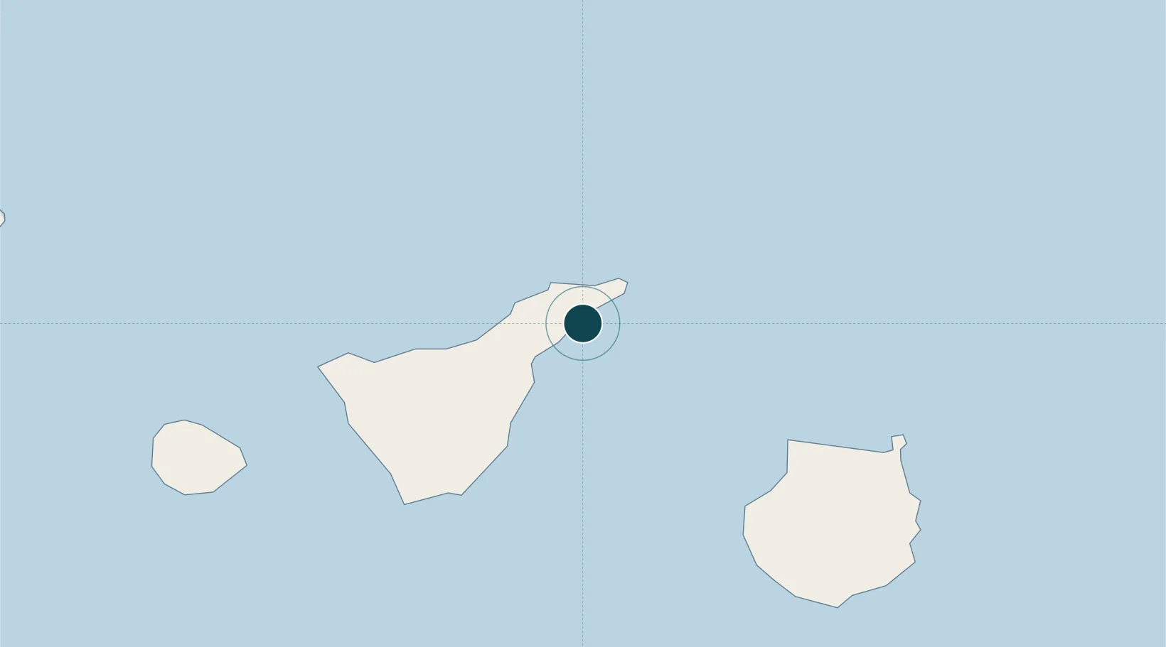
Location
Container Terminals · 2
BOLUDA MARITIME TERMINALS TENERIFE
CAPSA BOLUDA CORPORACION MARITIMA S.A.
CONTAINER TERMINAL TENERIFE (TCT)
ESTCT TERMINAL DE CONTENEDORES DE TENERIFE SA
Nearby Logistics Neighbours
Ports
- 1Las Palmas87 km
- 2Santa Cruz De La Palma150 km
- 3Puerto Del Rosario233 km
- 4Arrecife269 km
- 5Laayoune316 km
Cities
- 1San Cristobal de la Laguna7 km
- 2Tegueste10 km
- 3Tejina14 km
- 4Las Palmas14 km
- 5Valle de Guerra16 km
Airports
- 1Tenerife Norte-Ciudad de La Laguna Airport11 km
- 2Tenerife Sur Airport58 km
- 3Gran Canaria Airport102 km
- 4La Gomera Airport108 km
- 5La Palma Airport150 km
Trade Zones
DatabookThe Record of Consolidated Knowledge
Spain beyond logistics?