UN/LOCODE hub · Algeria
DZORN
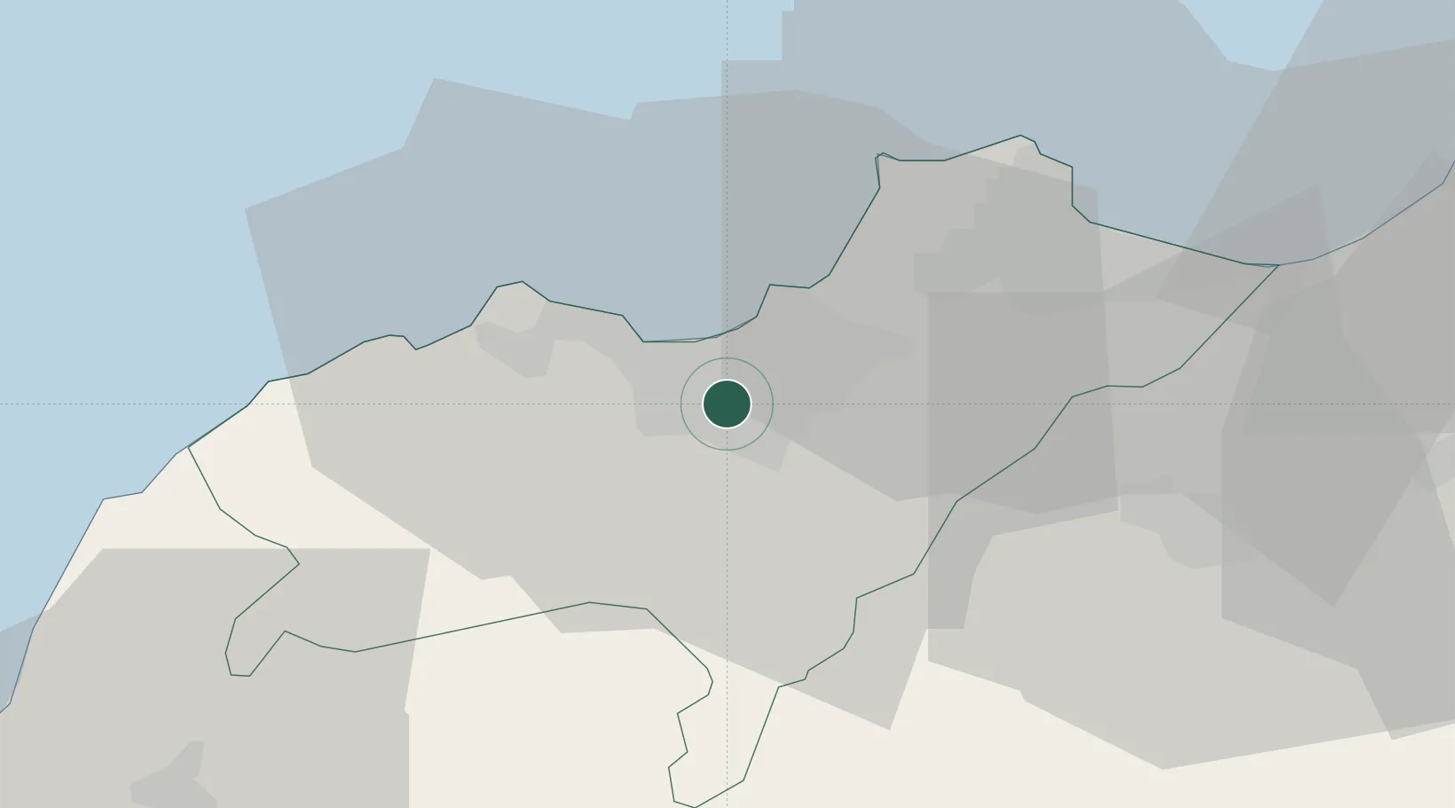
Oran
35.6625°, -0.6160°
803,329
Population
2
Transport functions
1
Container terminals
Transport Functions
Port
Airport
Hub Profile
Place type
Regional capital
Region
Oran
Population
803,329
Time zone
Africa/Algiers
Elevation
118 m
Logistics facilities
12
Container terminals
1
Location
Nearby Logistics Neighbours
Cities
- 1Es Senia2 km
- 2Oran Dry Port3 km
- 3Bethioua35 km
- 4Arzew36 km
- 5Sidi Bel Abbes53 km
Ports
- 1Arzew35 km
- 2Mostaganem70 km
- 3Beni Saf80 km
- 4Ghazaouet130 km
- 5Puerto De Carboneras187 km
Airports
Trade Zones
- 1Berkane Agro-Pole174 km
- 2Melilla Autonomous Community214 km
- 3Nador WestMed Free Zone236 km
- 4Depósito Franco de Alicante297 km
- 5Ait Kamra Economic Activity Zone310 km
DatabookThe Record of Consolidated Knowledge
Algeria beyond logistics?