UN/LOCODE hub · Algeria
DZBHA

Bethioua

35.8000°, -0.2667°
1
Transport functions

Transport Functions

Port
UN/LOCODE

Hub Profile

Region
31
GeoNames

Location

Location of DZBHA
Natural Earth 10m (public domain) · 31 · DZBHA · 35.80, -0.27GoogleOSMYandex

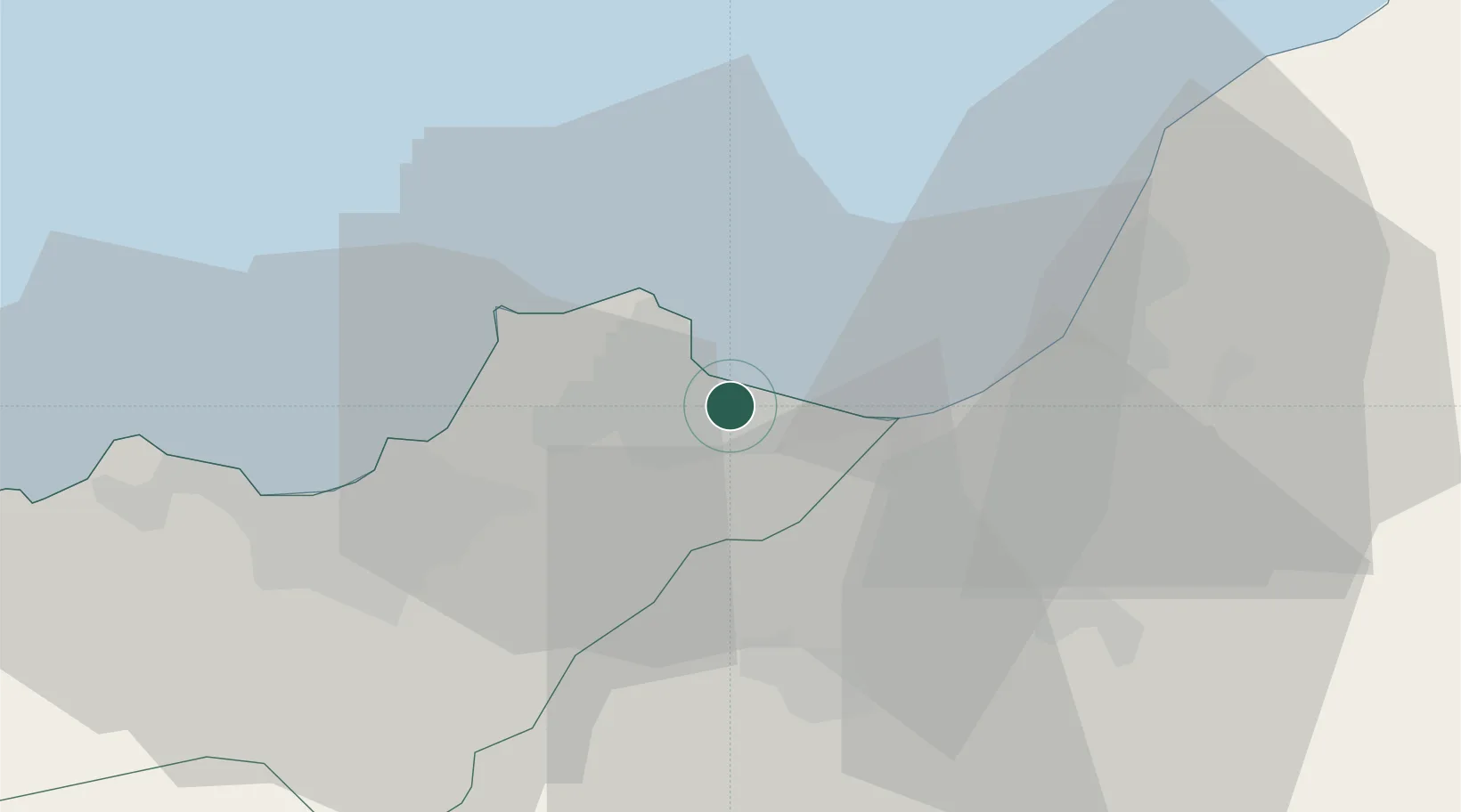
Nearby Logistics Neighbours

Cities
  1. 1Arzew8 km
  2. 2Oran35 km
  3. 3Oran Dry Port36 km
  4. 4Es Senia37 km
  5. 5Sidi Bel Abbes76 km
Nearest neighbours — logibook spatial index (haversine) over the source coordinates
Ports
  1. 1Arzew6 km
  2. 2Mostaganem35 km
  3. 3Oran35 km
  4. 4Beni Saf115 km
  5. 5Tenes164 km
Nearest neighbours — logibook spatial index (haversine) over the source coordinates
Airports
  1. 1Oran Tafraoui Airport37 km
  2. 2Oran Es-Sénia (Ahmed Ben Bella) International Airport38 km
  3. 3Ghriss Airport76 km
  4. 4Relizane Airport81 km
  5. 5Zenata – Messali El Hadj Airport139 km
Nearest neighbours — logibook spatial index (haversine) over the source coordinates
Trade Zones
  1. 1Berkane Agro-Pole209 km
  2. 2Melilla Autonomous Community248 km
  3. 3Nador WestMed Free Zone270 km
  4. 4Depósito Franco de Alicante283 km
  5. 5Ait Kamra Economic Activity Zone343 km
Nearest neighbours — logibook spatial index (haversine) over the source coordinates
DatabookThe Record of Consolidated Knowledge
Algeria beyond logistics?
Browse databook

All Sources

LocationsUN/LOCODE
UN/LOCODE — free
Portsthe NGA World Port Index
Public domain (US gov)
AirportsOurAirports
Public domain
Trade Zonesthe World Bank SEZ database
CC BY 4.0
Trade ZonesOpen Zone Map
CC BY
← Algeria locations