Transport Functions
Port
Rail
Road
Hub Profile
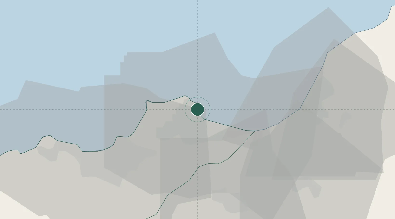
Place type
Populated place
Region
Oran
Population
58,162
Time zone
Africa/Algiers
Elevation
10 m
Logistics facilities
1
Location
Nearby Logistics Neighbours
Cities
- 1Bethioua8 km
- 2Oran Dry Port35 km
- 3Oran36 km
- 4Es Senia38 km
- 5Sidi Bel Abbes81 km
Ports
- 1Oran34 km
- 2Mostaganem36 km
- 3Beni Saf116 km
- 4Tenes164 km
- 5Ghazaouet165 km
Airports
Trade Zones
- 1Berkane Agro-Pole209 km
- 2Melilla Autonomous Community246 km
- 3Nador WestMed Free Zone268 km
- 4Depósito Franco de Alicante276 km
- 5Ait Kamra Economic Activity Zone341 km
DatabookThe Record of Consolidated Knowledge
Algeria beyond logistics?