Medium airport · Algeria

Relizane AirportDAAZ
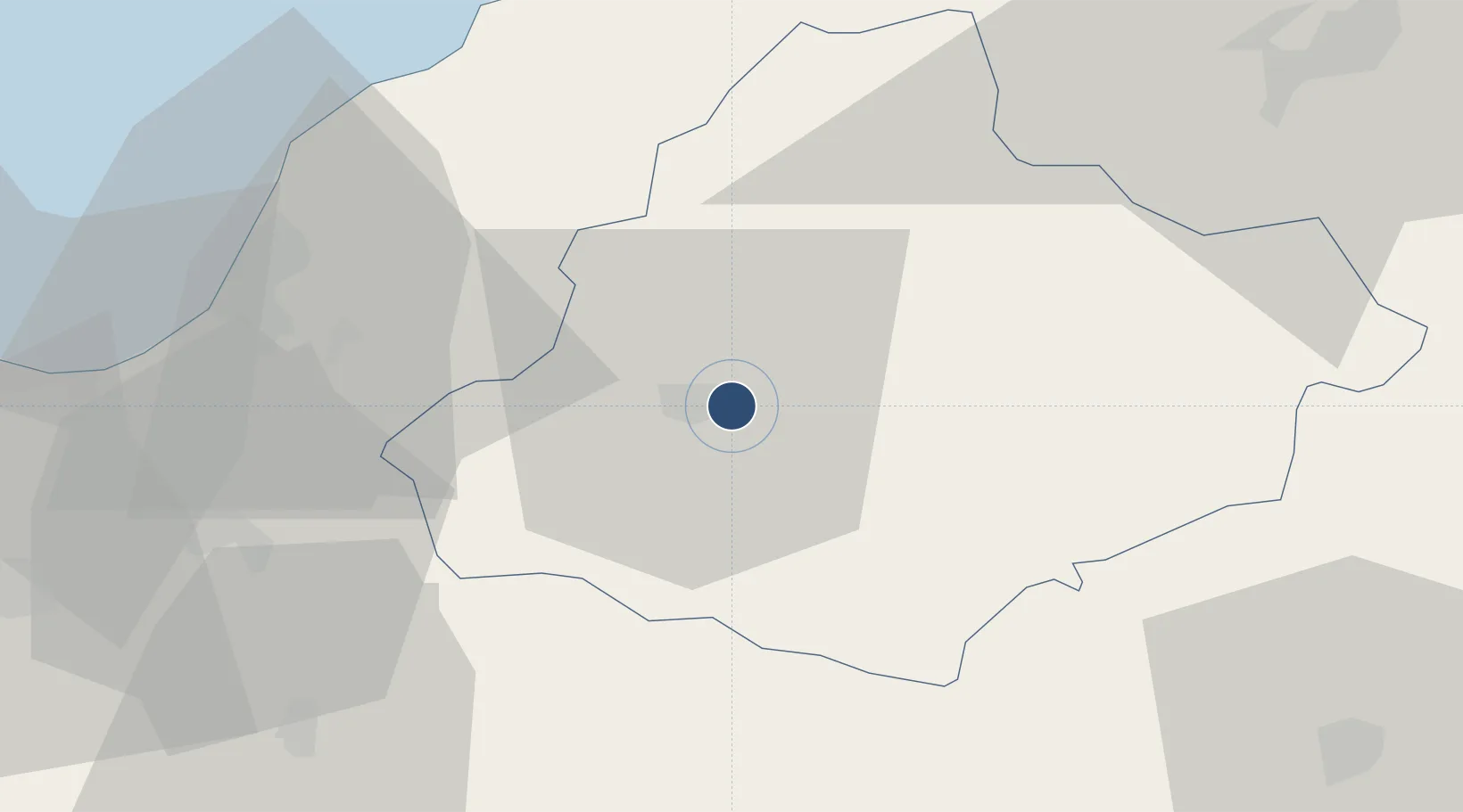
35.7530°, 0.6259°
4,265 ft
Longest runway
1
Runways
282 ft
Elevation

Runway & Layout

Relizane Airport runway & taxiway layout
Runway & taxiway layout — OpenStreetMap (ODbL) / OurAirports

Runways · 1

RunwayDimensions SurfaceTrue headingLit
07/25 4,265 × 70ft Asphalt 067°
OurAirports

Airport Specifications

ICAO code
DAAZ
OurAirports
Airport class
Medium airport
OurAirports
Scheduled service
No
OurAirports
Runway surface
Asphalt
OurAirports
Served city
Relizane
OurAirports

Location

Location of DAAZ
Natural Earth 10m (public domain) · Relizane · DAAZ · 35.75, 0.63GoogleOSMYandex

Nearby Logistics Neighbours

Airports
  1. 1Ghriss Airport75 km
  2. 2Chlef Aboubakr Belkaid International Airport83 km
  3. 3Abdelhafid Boussouf Bou Chekif Airport89 km
  4. 4Oran Tafraoui Airport107 km
  5. 5Oran Es-Sénia (Ahmed Ben Bella) International Airport114 km
Nearest neighbours — logibook spatial index (haversine) over the source coordinates
Cities
  1. 1Chlef78 km
  2. 2Bethioua81 km
  3. 3Arzew85 km
  4. 4Ténès105 km
  5. 5Corinth109 km
Nearest neighbours — logibook spatial index (haversine) over the source coordinates
Ports
  1. 1Mostaganem53 km
  2. 2Arzew84 km
  3. 3Tenes107 km
  4. 4Oran114 km
  5. 5Beni Saf189 km
Nearest neighbours — logibook spatial index (haversine) over the source coordinates
Trade Zones
  1. 1Berkane Agro-Pole282 km
  2. 2Depósito Franco de Alicante304 km
  3. 3Melilla Autonomous Community327 km
  4. 4Nador WestMed Free Zone348 km
  5. 5Depósito Franco de Valencia419 km
Nearest neighbours — logibook spatial index (haversine) over the source coordinates
DatabookThe Record of Consolidated Knowledge
Algeria beyond logistics?
Browse databook

All Sources

AirportsOurAirports
Public domain
Portsthe NGA World Port Index
Public domain (US gov)
LocationsUN/LOCODE
UN/LOCODE — free
Trade Zonesthe World Bank SEZ database
CC BY 4.0
Trade ZonesOpen Zone Map
CC BY
InfrastructureOpenStreetMap
ODbL 1.0
← Algeria airports