UN/LOCODE hub · Algeria
DZ2ON

Oran Dry Port

35.6833°, -0.6333°
2
Transport functions

Transport Functions

Port
Multimodal
UN/LOCODE

Hub Profile

Region
31
GeoNames

Location

Location of DZ2ON
Natural Earth 10m (public domain) · 31 · DZ2ON · 35.68, -0.63GoogleOSMYandex

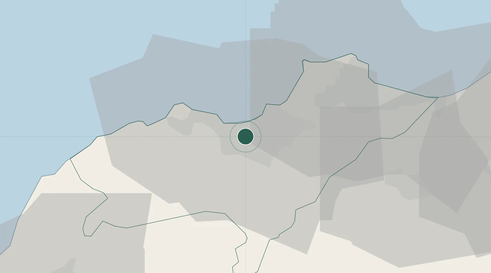
Nearby Logistics Neighbours

Cities
  1. 1Oran3 km
  2. 2Es Senia4 km
  3. 3Arzew35 km
  4. 4Bethioua36 km
  5. 5Sidi Bel Abbes56 km
Nearest neighbours — logibook spatial index (haversine) over the source coordinates
Ports
  1. 1Oran2 km
  2. 2Arzew35 km
  3. 3Mostaganem70 km
  4. 4Beni Saf80 km
  5. 5Ghazaouet129 km
Nearest neighbours — logibook spatial index (haversine) over the source coordinates
Airports
  1. 1Oran Es-Sénia (Ahmed Ben Bella) International Airport7 km
  2. 2Oran Tafraoui Airport18 km
  3. 3Ghriss Airport88 km
  4. 4Zenata – Messali El Hadj Airport106 km
  5. 5Relizane Airport114 km
Nearest neighbours — logibook spatial index (haversine) over the source coordinates
Trade Zones
  1. 1Berkane Agro-Pole174 km
  2. 2Melilla Autonomous Community213 km
  3. 3Nador WestMed Free Zone235 km
  4. 4Depósito Franco de Alicante295 km
  5. 5Ait Kamra Economic Activity Zone309 km
Nearest neighbours — logibook spatial index (haversine) over the source coordinates
DatabookThe Record of Consolidated Knowledge
Algeria beyond logistics?
Browse databook

All Sources

LocationsUN/LOCODE
UN/LOCODE — free
Portsthe NGA World Port Index
Public domain (US gov)
AirportsOurAirports
Public domain
Trade Zonesthe World Bank SEZ database
CC BY 4.0
Trade ZonesOpen Zone Map
CC BY
← Algeria locations