UN/LOCODE hub · Dominican Republic
DOINA

Haina

18.4167°, -69.9833°
1
Transport functions

Transport Functions

Port
Haina is also a profiled seaport →
UN/LOCODE

Location

Location of DOINA
Natural Earth 10m (public domain) · Santo Domingo · DOINA · 18.42, -69.98GoogleOSMYandex

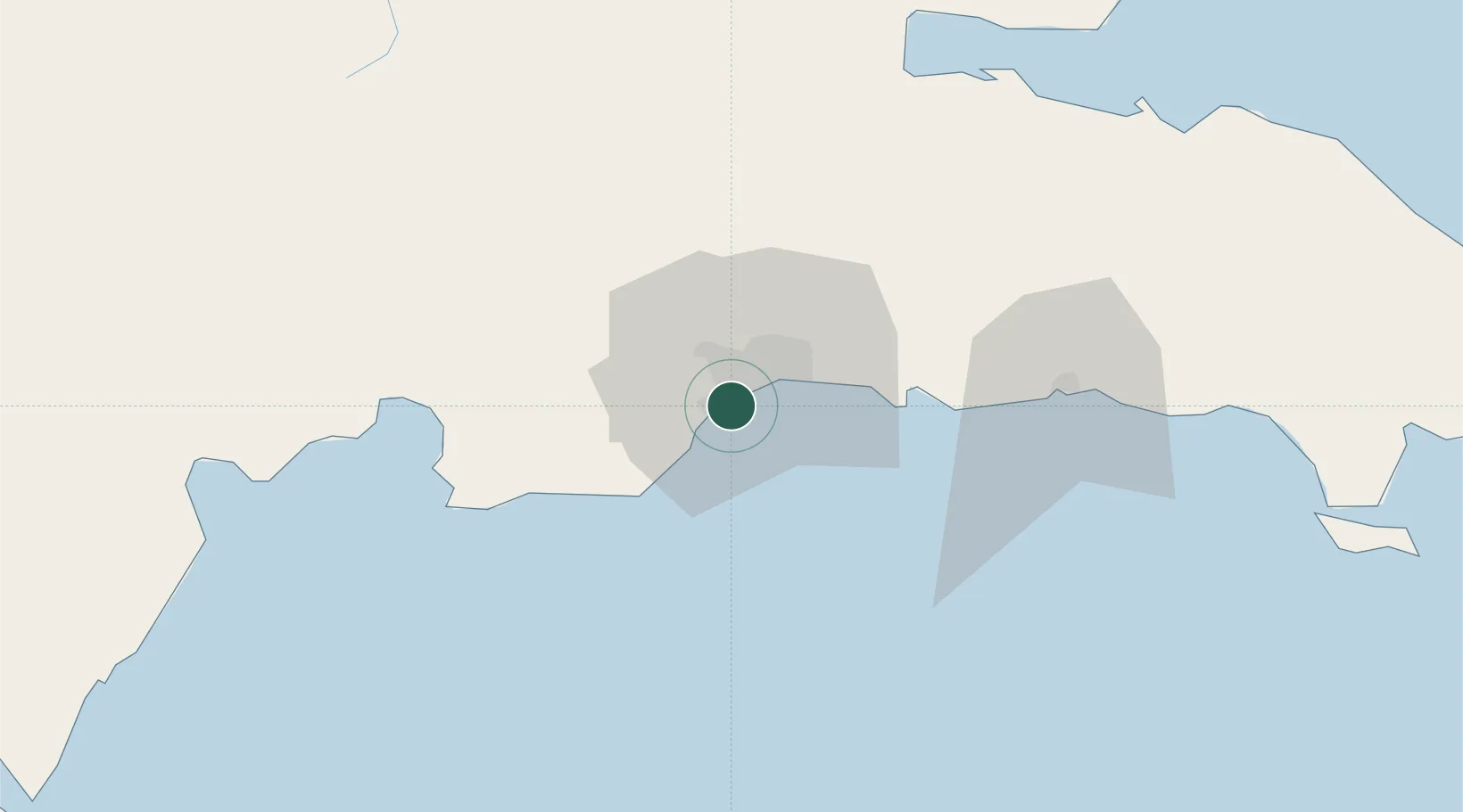
Nearby Logistics Neighbours

Cities
  1. 1Pedro Brand2 km
  2. 2Rio Haina3 km
  3. 3Barcequillo6 km
  4. 4Nigua9 km
  5. 5Santo Domingo10 km
Nearest neighbours — logibook spatial index (haversine) over the source coordinates
Ports
  1. 1Santo Domingo12 km
  2. 2Andres (Andres Lng Terminal)37 km
  3. 3Las Calderas61 km
  4. 4San Pedro De Macoris70 km
  5. 5Puerto Viejo De Azua90 km
Nearest neighbours — logibook spatial index (haversine) over the source coordinates
Airports
  1. 1La Isabela International Airport17 km
  2. 2San Isidro Air Base25 km
  3. 3Las Américas International Airport33 km
  4. 4Los Llanos de Sabanatosa Airport52 km
  5. 5Samaná El Catey International Airport98 km
Nearest neighbours — logibook spatial index (haversine) over the source coordinates
DatabookThe Record of Consolidated Knowledge
Dominican Republic beyond logistics?
Browse databook

All Sources

LocationsUN/LOCODE
UN/LOCODE — free
Portsthe NGA World Port Index
Public domain (US gov)
AirportsOurAirports
Public domain
Trade Zonesthe World Bank SEZ database
CC BY 4.0
Trade ZonesOpen Zone Map
CC BY
← Dominican Republic locations