UN/LOCODE hub · Dominican Republic
DOSDQ
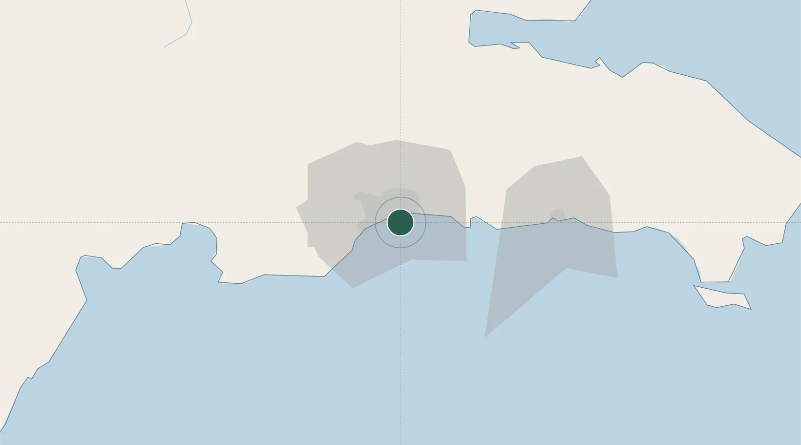
Santo Domingo
18.4335°, -69.8860°
2,201,941
Population
4
Transport functions
Transport Functions
Port
Road
Airport
Postal
Hub Profile
Place type
National capital
Region
Nacional
Population
2,201,941
Time zone
America/Santo_Domingo
Elevation
24 m
Logistics facilities
3
Location
Nearby Logistics Neighbours
Cities
- 1San Carlos6 km
- 2Haina10 km
- 3Hainamosa11 km
- 4Pedro Brand12 km
- 5Rio Haina13 km
Ports
- 1Puerto De Haina14 km
- 2Andres (Andres Lng Terminal)27 km
- 3San Pedro De Macoris60 km
- 4Las Calderas71 km
- 5Sanchez93 km
Airports
DatabookThe Record of Consolidated Knowledge
Dominican Republic beyond logistics?