UN/LOCODE hub · Dominican Republic
DOHAI
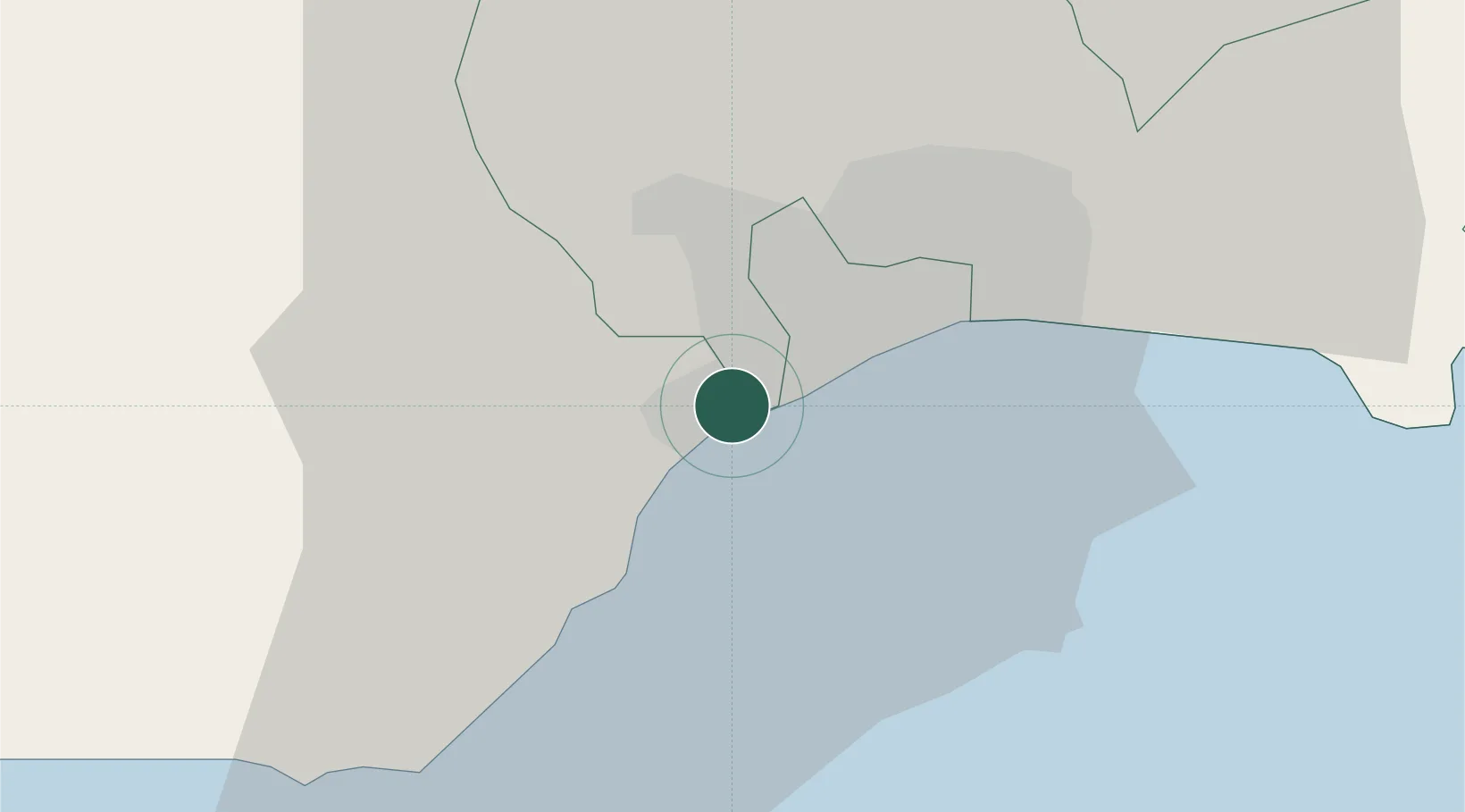
Rio Haina
18.4261°, -70.0057°
1
Transport functions
1
Container terminals
Transport Functions
Port
Hub Profile
Logistics facilities
6
Container terminals
1
Location
Nearby Logistics Neighbours
Cities
- 1Pedro Brand0 km
- 2Haina3 km
- 3Barcequillo3 km
- 4Nigua8 km
- 5Santo Domingo13 km
Ports
- 1Puerto De Haina2 km
- 2Santo Domingo14 km
- 3Andres (Andres Lng Terminal)39 km
- 4Las Calderas59 km
- 5San Pedro De Macoris73 km
Airports
DatabookThe Record of Consolidated Knowledge
Dominican Republic beyond logistics?