Free Trade Zone · Dominican Republic

HIT - Puerto Río Haina (Haina International Terminals) Active
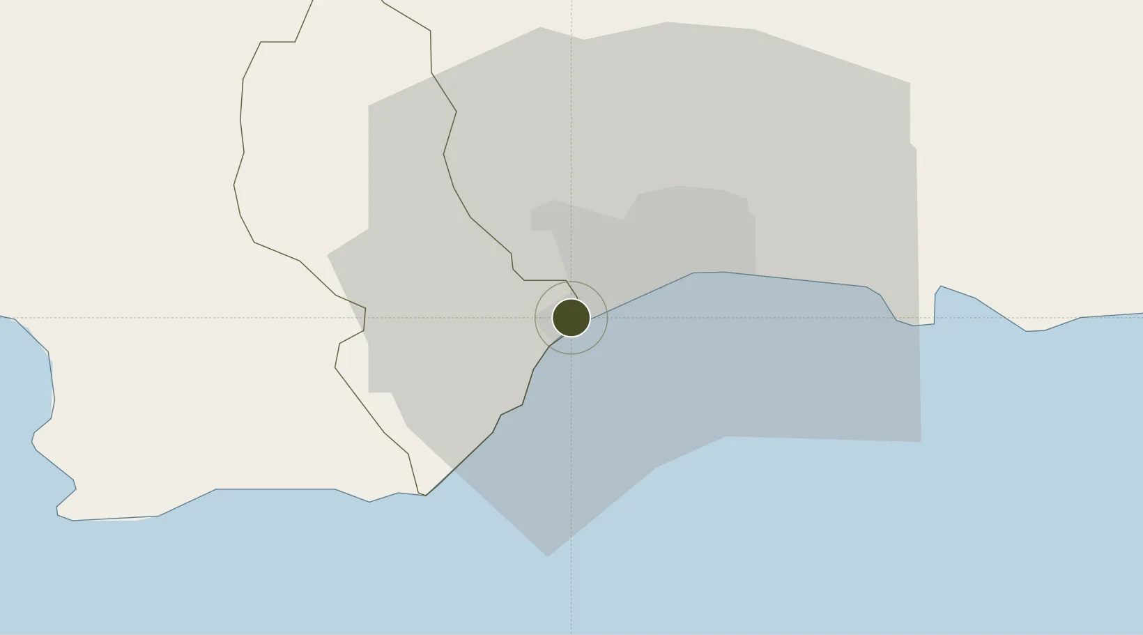
18.4227°, -70.0152°
104 ha
Zone area
0.7 km
Nearest port
16.9 km
Nearest airport

Gateway access

Nearest neighbours — logibook spatial index (haversine) over the source coordinates

Zone profile

Zone type
Free Trade Zone
Open Zone Map
Region
San Cristóbal
Open Zone Map
Status
Active
Open Zone Map
Management
Public
Open Zone Map
Operator
Parque de Exportacion de Haina, S.A
Open Zone Map
Legal framework
Law 8-90, Amended in December 2007
Open Zone Map

Location

Location of ozm-1838
Natural Earth 10m (public domain) · San Cristóbal · ozm-1838 · 18.42, -70.02GoogleOSMYandex

Nearby Logistics Neighbours

Ports
  1. 1Puerto De Haina1 km
  2. 2Santo Domingo15 km
  3. 3Andres (Andres Lng Terminal)40 km
  4. 4Las Calderas58 km
  5. 5San Pedro De Macoris74 km
Nearest neighbours — logibook spatial index (haversine) over the source coordinates
Airports
  1. 1La Isabela International Airport17 km
  2. 2San Isidro Air Base28 km
  3. 3Las Américas International Airport37 km
  4. 4Los Llanos de Sabanatosa Airport55 km
  5. 5Samaná El Catey International Airport99 km
Nearest neighbours — logibook spatial index (haversine) over the source coordinates
Cities
  1. 1Rio Haina1 km
  2. 2Pedro Brand1 km
  3. 3Barcequillo2 km
  4. 4Haina3 km
  5. 5Nigua7 km
Nearest neighbours — logibook spatial index (haversine) over the source coordinates
DatabookThe Record of Consolidated Knowledge
Dominican Republic beyond logistics?
Browse databook

All Sources

Trade ZonesOpen Zone Map
CC BY
Portsthe NGA World Port Index
Public domain (US gov)
AirportsOurAirports
Public domain
LocationsUN/LOCODE
UN/LOCODE — free
← Dominican Republic trade zones