Transport Functions
Multimodal
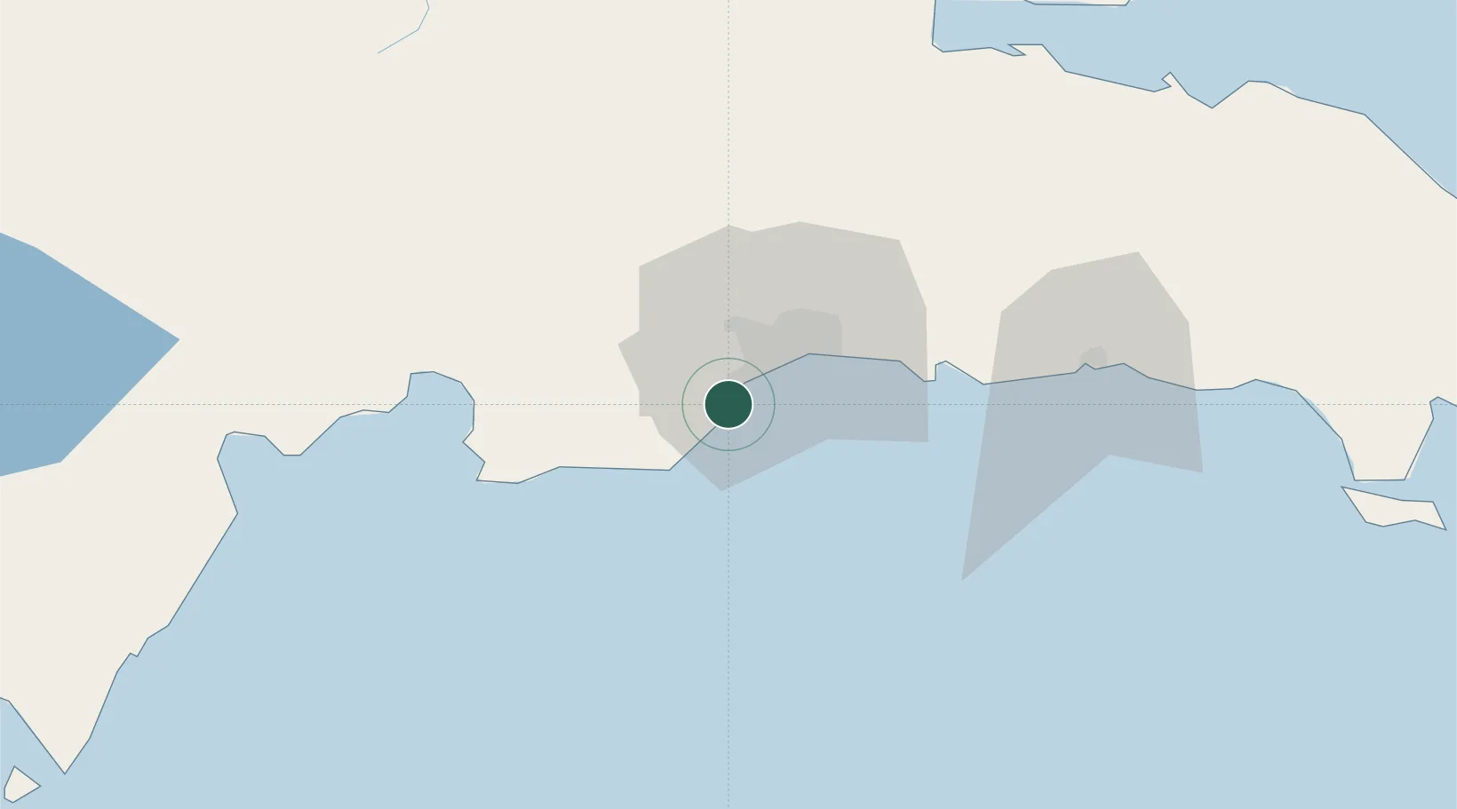
Hub Profile
Place type
Populated place
Region
San Cristóbal
Time zone
America/Santo_Domingo
Elevation
19 m
Location
Nearby Logistics Neighbours
Cities
- 1Barcequillo8 km
- 2Rio Haina8 km
- 3Pedro Brand8 km
- 4Haina9 km
- 5Puerto Palenque18 km
Ports
- 1Puerto De Haina7 km
- 2Santo Domingo21 km
- 3Andres (Andres Lng Terminal)45 km
- 4Las Calderas52 km
- 5San Pedro De Macoris78 km
Airports
DatabookThe Record of Consolidated Knowledge
Dominican Republic beyond logistics?