Seaport · Denmark

Grenaa HavnDKGRE

56.4167°, 10.9333°
4.9 m
Channel depth
12.1
Port liner connectivity

Channel & Berth Profile

SEA LEVEL (CD)CHANNEL BEDCargo pier · 3.4 mChannel · 4.9 mOil terminal · 6.4 mAnchorage · 7.9 m
NGA World Port Index

Pilotage, Tugs & Services

Pilotage compulsoryNO
Pilotage availableYES
Potable waterYES
MedicalYES
Garbage disposalYES
NGA World Port Index

Facilities & Capabilities

ContainerYES
Ro-RoYES
Liquid bulkYES
Dry bulkYES
Oil terminalNO
Break bulkNO
Dry dock
RepairsNO
BunkeringYES
Rail linkYES
Dangerous cargo
ISPS security
NGA World Port Index

Harbour Specifications

Harbour size
Very Small
NGA World Port Index
Harbour type
Coastal (Breakwater)
NGA World Port Index
Shelter
Good
NGA World Port Index
Water body
Kattegat; North Atlantic Ocean
NGA World Port Index
Tidal range
1 m
NGA World Port Index
Overhead limit
No
NGA World Port Index
Pilotage
No
NGA World Port Index

Liner Connectivity

12.1
PLSCI

Port Liner Shipping Connectivity Index for Grenaa Havn, as published by UNCTAD for the latest available quarter. Higher values indicate stronger scheduled liner-shipping integration.

Shown relative to the highest per-port PLSCI in the dataset (1,657.9).
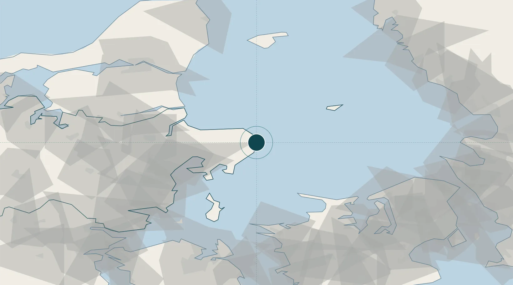
UNCTAD · Port Liner Shipping Connectivity Index

Location

Location of DKGRE
Natural Earth 10m (public domain) · Midtjylland · DKGRE · 56.42, 10.93GoogleOSMYandex

Nearby Logistics Neighbours

Ports
  1. 1Studstrup41 km
  2. 2Arhus53 km
  3. 3Randers55 km
  4. 4Hadsund60 km
  5. 5Mariager64 km
Nearest neighbours — logibook spatial index (haversine) over the source coordinates
Cities
  1. 1Glesborg14 km
  2. 2Kolind22 km
  3. 3Lystrup29 km
  4. 4Auning34 km
  5. 5Egå49 km
Nearest neighbours — logibook spatial index (haversine) over the source coordinates
Airports
  1. 1Aarhus Airport23 km
  2. 2Anholt Airfield49 km
  3. 3Aarhus Seaplane Terminal51 km
  4. 4Læsø Airport96 km
  5. 5Aalborg Airport100 km
Nearest neighbours — logibook spatial index (haversine) over the source coordinates
Trade Zones
  1. 1Freeport of Copenhagen- Nordhavn130 km
  2. 2Gothenburg Boundless Customs Warehouse153 km
  3. 3MTS Malmö Transport and Spedition162 km
  4. 4Freeport of Kiel237 km
  5. 5Jönköping Free Zone243 km
Nearest neighbours — logibook spatial index (haversine) over the source coordinates
DatabookThe Record of Consolidated Knowledge
Denmark beyond logistics?
Browse databook

All Sources

Portsthe NGA World Port Index
Public domain (US gov)
Logistics performanceUNCTAD
CC BY 3.0 IGO
AirportsOurAirports
Public domain
LocationsUN/LOCODE
UN/LOCODE — free
Trade Zonesthe World Bank SEZ database
CC BY 4.0
Trade ZonesOpen Zone Map
CC BY
← Denmark ports