Transport Functions
Multimodal
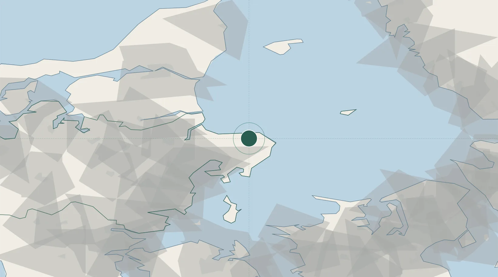
Hub Profile
Place type
Populated place
Region
Central Jutland
Time zone
Europe/Copenhagen
Elevation
52 m
Location
Nearby Logistics Neighbours
Ports
- 1Grenaa Havn14 km
- 2Studstrup35 km
- 3Randers42 km
- 4Hadsund46 km
- 5Arhus49 km
Airports
- 1Aarhus Airport21 km
- 2Aarhus Seaplane Terminal47 km
- 3Anholt Airfield56 km
- 4Aalborg Airport87 km
- 5Læsø Airport90 km
Trade Zones
- 1Freeport of Copenhagen- Nordhavn144 km
- 2Gothenburg Boundless Customs Warehouse151 km
- 3MTS Malmö Transport and Spedition176 km
- 4Freeport of Kiel242 km
- 5Jönköping Free Zone248 km
DatabookThe Record of Consolidated Knowledge
Denmark beyond logistics?